
What is recorded here
In pasture, on W side of Bruff Hill (312ft/95m) and ringfort (LI032-119----). Not depicted on OSi historic maps. Rectilinear earthworks in field to W of Bruff Hill with possible outline of buildings in N quadrant visible on OSi orthoimages taken 2005-2012 which may indicate the presence of a clustered settlement consisting of buildings with associated field system. These earthworks are also visible on Digital Globe orthoimages taken 2011-2013 and on Google Earth orthoimage taken 25/03/2017.
See attached Google Earth orthoimage.
Compiled by: Caimin O'Brien based on details provided by Alison McQueen and Vera Rahilly
Date of upload: 8 November 2020
The monument record does not grant public access. Check the route and ask the landowner before entering private land.
- What survives
- Recorded monument
Places near here
 Burial in BruffBurial · 435 yd
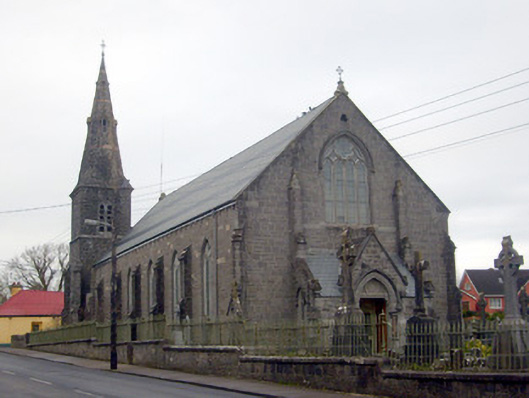 Catholic Church of Saint Peter and Saint Paulchurch/chapel · 782 yd
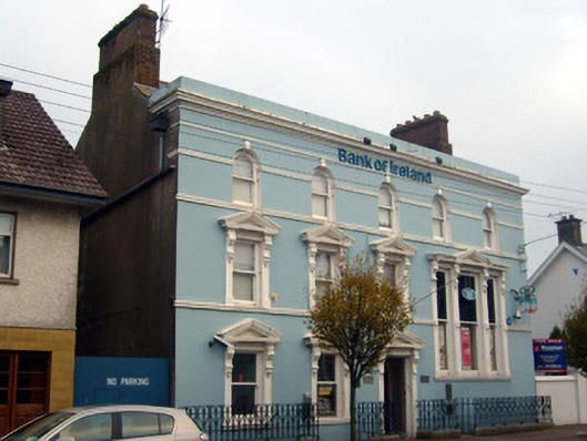 Bank of Irelandbank/financial institution · 818 yd
 Burial GroundGraveyard · 1051 yd
 Castle (in ruins)Castle, unclassified · 1111 yd
 Ballygrennan Castle (in ruins)Castle, tower house · 1690 yd
 Glen BogForest · 1.6 mi
 KnockainyMountain / peak · 2.6 mi
 Flat cemetery in Knockainy WestFlat cemetery · 3.5 mi
 St Patrick's WellSpring · 6.5 mi
 Edmund's WellSpring · 7.1 mi
 Ballinvreena LoopVisitor information · 7.5 mi
Other information
Photo: Credit not shown in the picture search · Rights wording not checked; contact us if this picture should be removed