What is recorded here
Three houses stood together in Ballygowan when a Trustees Survey marked them in 1701, yet no one now knows which grassy patch or rocky ledge they occupied. They may have belonged to neighbours, tenants or kin sharing one hearth and one risk. The survey preserved their existence but erased their address, leaving behind a small cluster of ghosts that could have lived anywhere near Ballygowan.
This record refers to a cluster of three houses marked in Ballygowan townland on a 1701 'Trustees Survey' map (National Library of Ireland microfilm, no. 645, p. 31). The exact location of the houses is unknown.
Compiled by: Jane O’Shaughnessy
Date of upload: 27 September 2022
The monument record does not grant public access. Check the route and ask the landowner before entering private land.
- What survives
- Recorded monument
Places near here
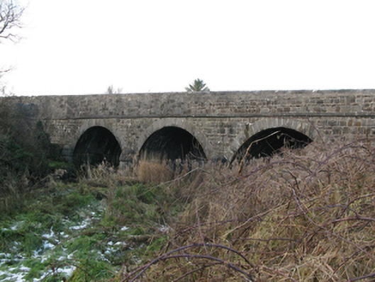 Brickeens Bridgebridge · 1089 yd
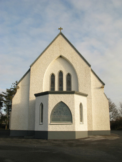 Catholic Church of Saint Theresa of the Little Flowerchurch/chapel · 1556 yd
 Enclosure in Lissaniska (costello By.)Enclosure · 1.9 mi
 Enclosure in Crumlin (clanmorris By.)Enclosure · 2.1 mi
 CastleCastle, unclassified · 3.4 mi
 Castlekeel (in ruins)Castle, unclassified · 4.1 mi
 Oak WoodForest · 4.3 mi
 Knock MuseumMuseum · 4.5 mi
 Land of the GiantsHeritage attraction · 4.5 mi
 Geoffrey's WoodForest · 5.1 mi
 Mass RockNamed rock · 14 mi
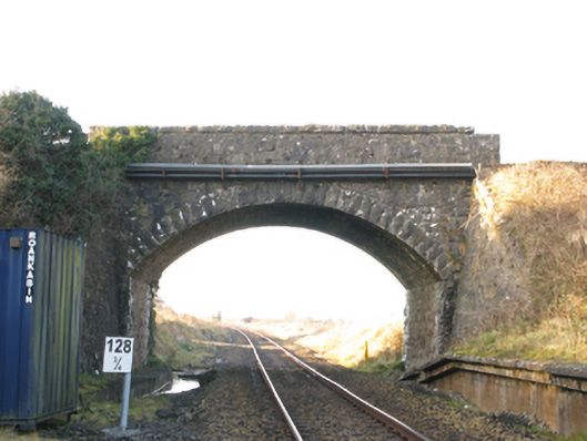 bridgebridge · 1.6 mi