
More pictures of this place


What is recorded here
The ordinary view hides the useful part of the story. The east side of Annesley Bridge Road, now Fairview Park, which was originally tidal mud flats, was used for landfill in the 1900s, before being developed into a park in the later 1920s.
Freestanding monument, erected 1951, commemorating Seán Ruiséal. Comprises figurative textured cast bronze statue (current version is 2009), set on octagonal-plan two-tier limestone pedestal and three-step base. Coat of arms of four provinces to upper tier, flanked by faces having names of counties; lower tier has scroll to front face with subject's name and status, flanked by faces bearing eulogies, in turn flanked by faces inscribed with names of comrades. Located in Fairview Park, addressing Annesley Bridge Road.
The east side of Annesley Bridge Road, now Fairview Park, which was originally tidal mud flats, was used for landfill in the 1900s, before being developed into a park in the later 1920s.
The emotive appearance of this cast statue and the fine detailing in the carved base are evidence of its high artistic quality. The tall base makes it an imposing feature in Fairview Park, visible from all directions. Seán Ruiséal had been a head of the IRA in the early twentieth century and his monument has been the gathering point for many republican commemorations. However, his divisive character, and association with the Nazis during the Second World War, has resulted in the statue being attacked and vandalized on various occasions. The statue was replaced in 1965, with a lowered arm, replacing the previous clenched fist. Following an attack in 2005, when the statue was beheaded, a replacement, by Willie Malone, was unveiled in 2009. The current iteration depicts him with his hat in his hands. The east side of Annesley Bridge Road, now Fairview Park, which was originally tidal mud flats, was used for landfill in the 1900s, before being developed into a park in the later 1920s.
The story behind this place
The east side of Annesley Bridge Road, now Fairview Park, which was originally tidal mud flats, was used for landfill in the 1900s, before being developed into a park in the later 1920s.
This does not grant access. Most recorded buildings are privately owned; view them only from public ground unless the owner allows entry.
Places near here
 Seán Russell Memorial StatueMemorial · 1 yd
 hallhall · 61 yd
 Annesley Bridgebridge · 143 yd
 Ballybough Burial PlotMonument · 425 yd
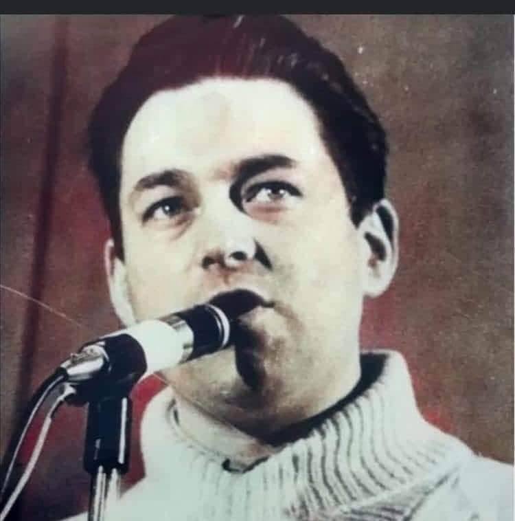 Seamus CostelloMemorial · 456 yd
 East Point Business ParkVisitor information · 475 yd
 Bread, Beer & Bia AirBnB ExperienceVisitor information · 660 yd
 Burial in Unknown TownlandBurial · 771 yd
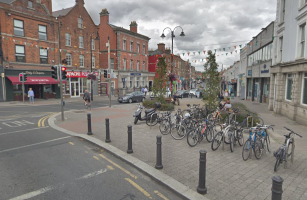 W18539Wreck · 909 yd
 London PlaneLondon Plane · 1071 yd
 St Josephs Asylum for the BlindCastle, unclassified · 1210 yd
 International Centre for the ImageGallery · 1563 yd
Other information
Photo: Dwmalone · CC BY-SA 4.0