What is recorded here
Scotland's National Record of the Historic Environment records Seamew (possibly) as Motor Fishing Vessel (period Unassigned)-(1999). The official map says its point is accurate as follows: NGR given to the nearest 1m. The record does not by itself mean that the public may enter the place.
Seamew was a motor fishing vessel, possibly lost in the late 20th century; its wreck remains recorded in Scotland's National Record of the Historic Environment with precise geographical coordinates.
The historic-place record does not grant public access. Check current conditions and ownership before entering land or a building.
Places near here
 Black RockHeritage attraction · 3.0 mi
 ENCLOSURE in AughnahooryENCLOSURE · 3.2 mi
 RATH; reused as MEDIEVAL CHURCH and GRAVEYARD: KILKEEL or ST.COLMAN del MOURNE in KilkeelRATH; reused as MEDIEVAL CHURCH and GRAVEYARD: KILKEEL or ST.COLMAN del MOURNE · 3.4 mi
 Robert Hill Hanna VC - First World War HeroVisitor information · 3.5 mi
 Kilmorey Arms HotelHotel · 3.5 mi
 First Trust BankBank · 3.5 mi
 Hanna's Close WalkWalking route · 3.7 mi
 Mourne Coastal Route: Annalong - A Granite PortVisitor information · 4.8 mi
 Annalong Coastal PathWalking route · 4.9 mi
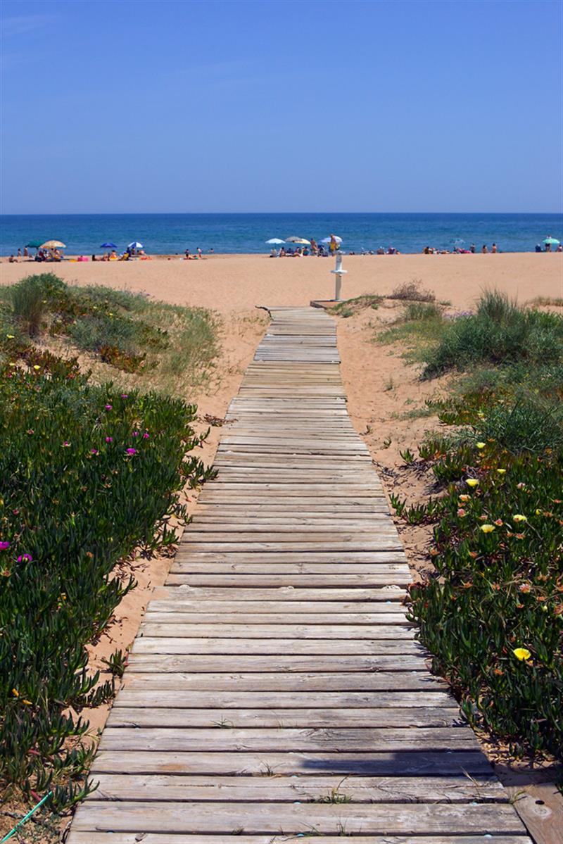 Beach - Costa del CeanfieldBeach / strand · 5.2 mi
 Cranfield PointHeadland · 5.6 mi
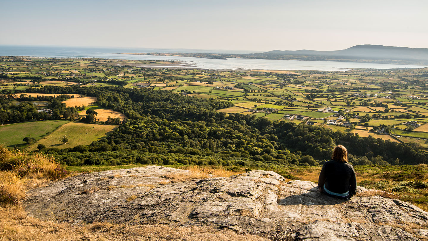 Mourne ParkWood · 5.9 mi