What is recorded here
One-storey structure on E side of road, c. 150m N of Milford village. Rectangular structure (long axis N-S) indicated on 1842 OS 6-inch map and named 'National School'; indicated on 1904 OS 6-inch map with projection on W side. Rendered over random-rubble sandstone. Gable-ended, brick chimneys atop gable. Front elevation (W) has double-gable-fronted, 2-bay addition, set off-centre, with brick-arched window opes. Rear elevation (E) of five bays with rectangular opes. In use as a farm shed and in poor condition. Built in mid 1800s; front addition built c. 1890s (Ó Donnagáin, 1990, 65). School yard to W enclosed along roadside by stone wall with entrance gate and piers. Overgrown toilet block to rear.
The above description is derived from the published 'Archaeological Inventory of County Cork. Volume 4: North Cork' (Dublin: Stationery Office, 2000). In certain instances the entries have been revised and updated in the light of recent research.
Date of upload/revision: 14 January 2009
The monument record does not grant public access. Check the route and ask the landowner before entering private land.
- What survives
- Recorded monument
Places near here
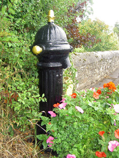 water pumpwater pump · 36 yd
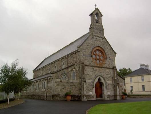 Church of the Assumption of the Blessed Virginchurch/chapel · 200 yd
 Castle (in Ruins)Castle, Anglo-Norman masonry castle · 830 yd
 Enclosure in DoonyEnclosure · 1009 yd
 LisaleighMoated site · 1211 yd
 Castle LisheenCastle · 1.6 mi
 ToberacappeenSpring · 2.1 mi
 National Co-op MuseumMuseum · 2.2 mi
 ToberhoranSpring · 4.2 mi
 Battle of LiscarrollMajor battlefield · 6.1 mi
 Windmill HillMountain / peak · 6.3 mi
 Mullaghareirk - Banane LoopWalking route · 8.5 mi