What is recorded here
Dooey in County Antrim holds sandhills where Mesolithic, Neolithic and medieval people all left traces behind. The site spans prehistoric and medieval periods, suggesting humans kept returning to the same shifting ground across thousands of years. Each layer may have meant shelter, hunting, farming or passage, yet the sand has buried most of the proof. What remains is a place where time kept coming back to the same spot.
The official Northern Ireland record identifies this as SANDHILLS SITE: MESOLITHIC; NEOLITHIC; MEDIEVAL SETTLEMENTS. Recorded period: MED/L.MED; PREHISTORIC. The official map point was placed at the centre of the recorded archaeological site from the source map reference.
The monument record does not grant public access. Check the route and ask the landowner before entering private land.
- What survives
- Recorded monument
Places near here
 Runkerry Stand (Bushfoot)Beach / strand · 465 yd
 Runkerry BeachVisitor information · 499 yd
 ENCLOSURE or CAIRN (O.S. memoir site; unlocated) in CarnsideENCLOSURE or CAIRN (O.S. memoir site; unlocated) · 587 yd
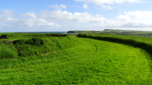 Lissanduff EarthworksNature reserve · 830 yd
 RUNKERRY HouseCountry House · 1135 yd
 ENCLOSURE; probably tree ring in KilcoobinENCLOSURE; probably tree ring · 1175 yd
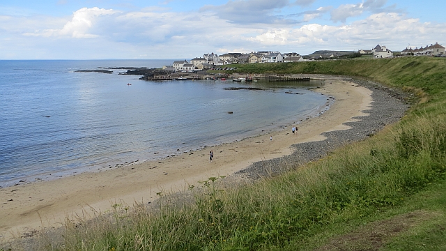 Portballintrae BeachBeach / strand · 1458 yd
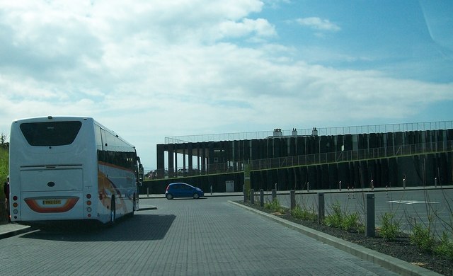 Giant's Causeway Visitor ExperienceMuseum · 1696 yd
 Causeway HotelHotel · 1697 yd
 ROUND CAIRN: CARNKIRK CASTLE in CarnkirkROUND CAIRN: CARNKIRK CASTLE · 1.2 mi
 Blue Trail, Giant's CausewayWalking route · 1.2 mi
 Old Bushmills DistilleryHeritage attraction · 1.3 mi