
What is recorded here
Beneath the sports complex in County Donegal, a circular platform waits in darkness, its charred lens and clay strata preserved under half a metre of new earth. Children may still run above the place where an ancient boundary once cut the lowland pasture, unaware that they chase balls across a forgotten room. The River Swilly flows a hundred metres south, carrying rain and memory past the buried circle, while the enclosure keeps its shape in the dark, neither erased nor explained.
This enclosure, now lying beneath a sports complex, was first recorded in 2001, at which time it was located in level, lowlying pasture. The River Swilly is 100m to S. In 2001 it was evident as a low, circular platform (41.5m NNW-SSE; 40m ENE-WSW) defined by a broad scarp (Wth 1.1-2.4m; H 0.2−0.6m). At the upper edge of the scarp there were ephemeral traces of a levelled bank, and at the foot of the scarp there were traces of an infilled fosse. The fosse was visible at E as a waterlogged depression (Wth 7m; D 0.25m), but for most of the circuit it could be traced only as a surface cropmark (Wth 3m). There was slight evidence of a possible counterscarp bank (Wth c. 4m) outside the fosse. The centre of the platform appeared slightly dished in profile. Levelled remnants of a NNW-SSE field boundary bisected the enclosure, with the outline of a second levelled bank extending at right angles through the NNE quadrant.
In February 2002 the enclosure was archaeologically tested in advance of the construction of the sports complex (Walsh 2002). Development ground works in the immediate vicinity of the enclosure prevented testing of the enclosing fosse, but three machine-cut test trenches were excavated in the interior of the enclosure. The stratigrapy consisted of ‘bog-land deposits over natural clay’, with a lens of charcoal noted in two trenches; no artefacts were found, and insufficient definitive archaeological evidence was recovered to determine the nature of the site. (Walsh 2002, 5-7). As part of the development plan, the location was covered with terram, and the ground level raised by 0.5m, thus preserving the enclosure from further disturbance (Walsh 2002, 8).
Compiled by: Jane O'Shaughnessy
Date of revised upload: 4 January 2018
The monument record does not grant public access. Check the route and ask the landowner before entering private land.
- What survives
- Recorded monument
Places near here
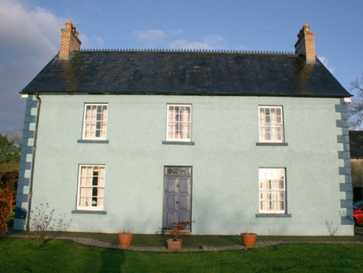 Sallaghagrane Househouse · 353 yd
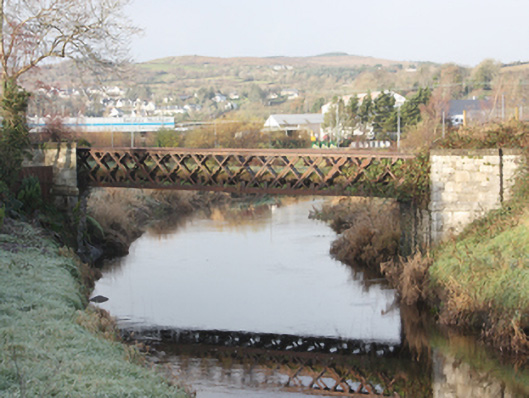 Oldtown Railway Bridgebridge · 532 yd
 Bawn in LetterkennyBawn · 824 yd
 Former Ballymacool Fairy FortFairy fort / ringfort · 1157 yd
 Donegal County MuseumMuseum · 1462 yd
 Ballymacool Drumhill Fairy Fort and CaveFairy fort / ringfort · 1553 yd
 PoleStar MonumentHeritage attraction · 1.3 mi
 Battle of Scarrifholisbattle · 2.2 mi
 Site of Castle SollusCastle, unclassified · 2.2 mi
 Gregory HillMountain / peak · 3.0 mi
 Stackarnagh Abbey GraveyardGraveyard · 4.6 mi
 European YewEuropean Yew · 4.9 mi
Other information
Photo: Credit not shown in the picture search · Rights wording not checked; contact us if this picture should be removed