
What is recorded here
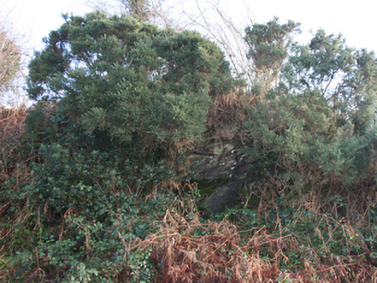
There is now no trace of the single-ringed 'Fort' marked on the 1st edition of the OS 6-inch map. A previous record (NMI) suggests it was 150 ft. in diameter. It is located on the SE slope of a hill in good land.
The monument record does not grant public access. Check the route and ask the landowner before entering private land.
- What survives
- Recorded monument
Places near here
 mass rockmass rock · 428 yd
 Ballymacool Drumhill Fairy Fort and CaveFairy fort / ringfort · 764 yd
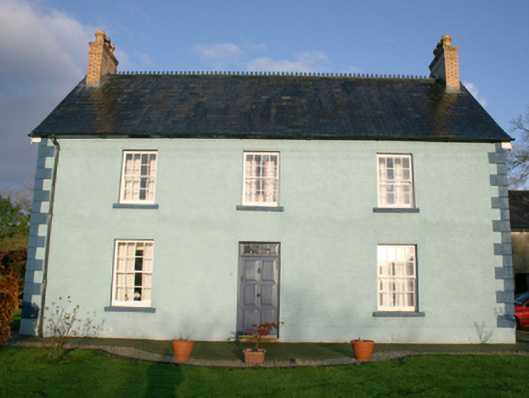 Sallaghagrane Househouse · 832 yd
 Sallaghagrane Enclosure beneath Sports ComplexEnclosure · 1157 yd
 Bawn in LetterkennyBawn · 1446 yd
 Donegal County MuseumMuseum · 1671 yd
 PoleStar MonumentHeritage attraction · 1.7 mi
 Battle of Scarrifholisbattle · 2.2 mi
 Site of Castle SollusCastle, unclassified · 2.2 mi
 Gregory HillMountain / peak · 2.4 mi
 Stackarnagh Abbey GraveyardGraveyard · 4.1 mi
 BallykeeranForest recreation place · 4.9 mi
Other information
Photo: Credit not shown in the picture search · Rights wording not checked; contact us if this picture should be removed