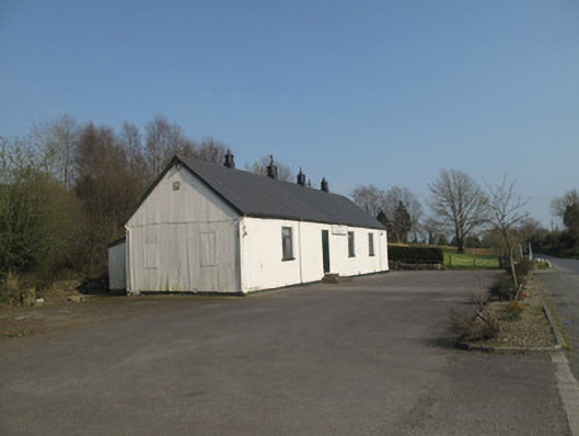
What is recorded here
Detached four-bay single-storey community hall, built c.1940, having entry porch to south-east elevation and recent concrete lean-to extensions to rear (north-east) elevation. Pitched corrugated-iron roof with timber bargeboards and finials, cast-iron rainwater goods and clerestory vents. Corrugated-iron walls having painted plinth course, inscribed timber name plaque to front (south-west) elevation. Square-headed window openings throughout with timber sills and architrave surrounds, timber-frame casement windows and steel grilles over. Square-headed door opening to front having metal door, accessed by three concrete steps. Square-headed door opening to porch with double-leaf metal door, accessed by two concrete steps. Timber panelling to internal ceiling and walls, timber floors. Timber booth to interior of porch having square-headed opening with architrave surround and timber shelf. Stage to end of hall, with timber architrave surround, accessed by timber steps.
This simple community hall is constructed in corrugated iron, a material which began to be popular for its flexibility, economy, and ease of transport and assembly, in the late nineteenth century. These attributes led to it being used for many public buildings such as halls, railway stations and churches, particularly in rural areas where it was also adopted by vernacular builders. The hall is enlivened with timber detailing, including bargeboards, finials and door and window surrounds, which add artistic interest to its appealingly simple form. Still in use today, it has an important role to play in the social life of the area.
This does not grant access. Most recorded buildings are privately owned; view them only from public ground unless the owner allows entry.
Places near here
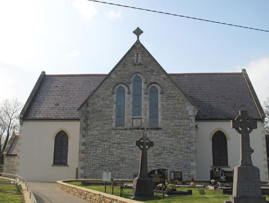 Catholic Church of the Sacred Heartchurch/chapel · 748 yd
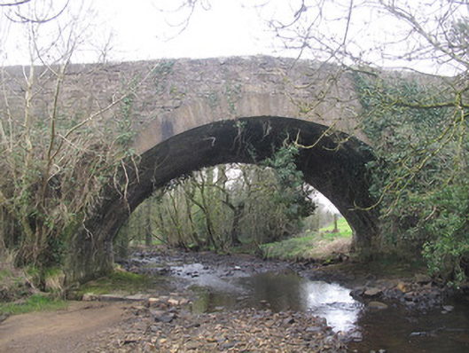 Derrykinnigh Bridgebridge · 1.2 mi
 IndicatedFairy fort / earthen ringfort · 1.5 mi
 Coolberrin HillMountain / peak · 2.0 mi
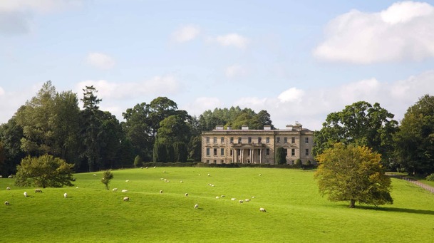 Hilltop enclosure in LenaghHilltop enclosure · 2.0 mi
 Emyvale Heritage TrailVisitor information · 2.6 mi
 St. Muadain's WellSpring · 2.6 mi
 Sliabh Beagh WayWalking route · 3.2 mi
 Saint Patrick's ChairNamed rock · 3.5 mi
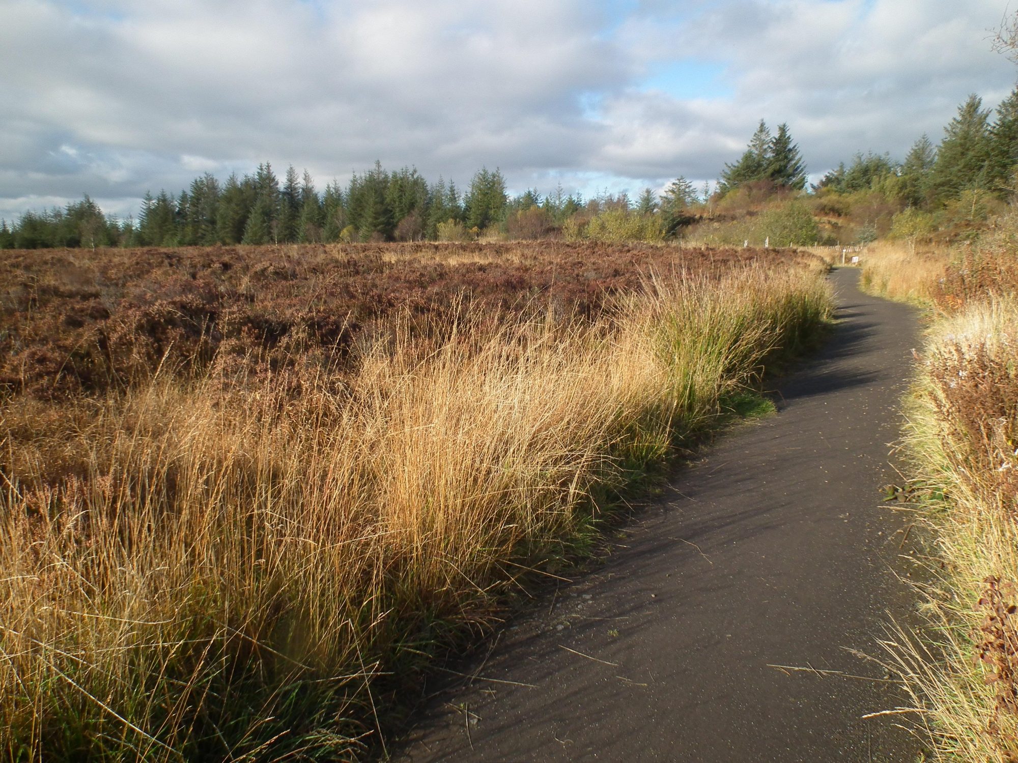 Altadaven WoodForest · 3.7 mi
 Derrygorry WoodForest · 4.0 mi
 RAVELLA CASTLE:HOUSE AND BAWN in RavellaRAVELLA CASTLE:HOUSE AND BAWN · 4.5 mi
Other information
Photo: National Inventory of Architectural Heritage · Website use allowed for educational or private purposes with source credit