
More pictures of this place


What is recorded here
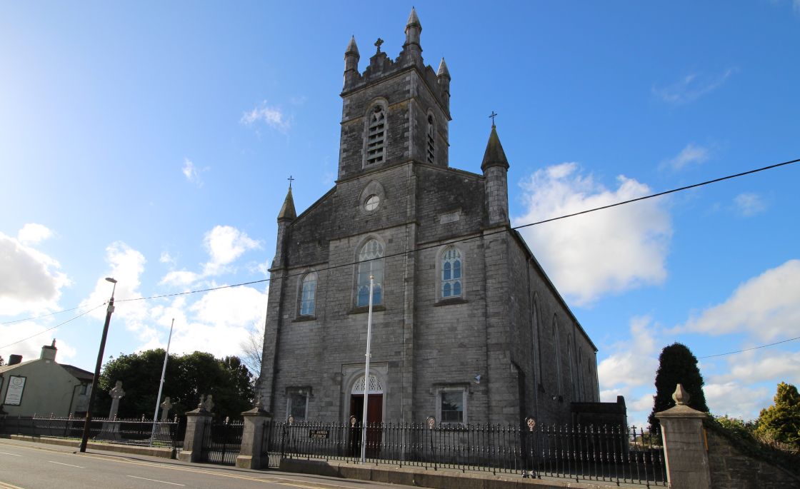
A graveyard can hold the story of a whole place. The church is set on a site of archaeological interest, with the round tower, belfry and grave markers.
Detached gable-fronted church, built in 1778, comprising of four-bay nave with single-bay chancel to the east, and projecting entrance bays to north and south elevations. Pitched slate roof. Roughcast rendered and squared limestone walls. Three-bay flat-roofed projecting entrance block with chamfered corners, comprising of central breakfront with pointed arch door opening, flanked by single-bays with sash lancet windows having hood mouldings above. Triple light lancet window flanked by single lancets to chancel. Graveyard and round tower to site.
The church is set on a site of archaeological interest, with the round tower, belfry and grave markers.
This church occupies a raised site in the town and is a notable and dominant structure in the streetscape. The setting of the church is enhanced by the round tower and belfry to the site, which are tall and imposing structures in the town. This fine church, which was apparently designed by Thomas Cooley, retains many interesting features and materials. The entrance elevation is enlivened by the central breakfront bay, chamfered corners and ashlar limestone dressings. The church is set on a site of archaeological interest, with the round tower, belfry and grave markers.
The story behind this place
The church is set on a site of archaeological interest, with the round tower, belfry and grave markers.
This does not grant access. Most recorded buildings are privately owned; view them only from public ground unless the owner allows entry.
Places near here
 Font (present location) in Town Parks (kells Upper By.)Font (present location) · 20 yd
 Kells High Crosses and Round TowerMemorial · 33 yd
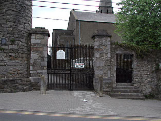 Saint Columba's Church (Kells)gates/railings/walls · 39 yd
 Round TowerRound tower · 42 yd
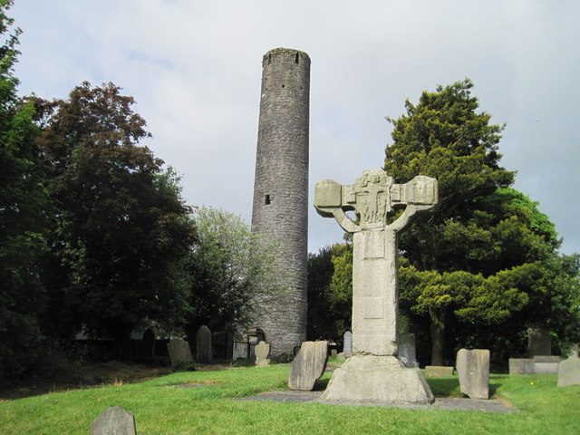 Kells Round TowerMemorial · 44 yd
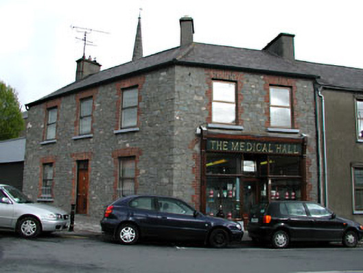 The Medical Hallhouse · 63 yd
 CastleCastle, unclassified · 210 yd
 Lady's Well WoodForest · 1216 yd
 Long WoodWood · 1229 yd
 Castle ruinsCastle · 1.5 mi
 MountainpoleMountain / peak · 1.9 mi
 BalreaskMountain / peak · 2.5 mi
Other information
Photo: Oliver Gargan · CC BY-SA 4.0