What is recorded here
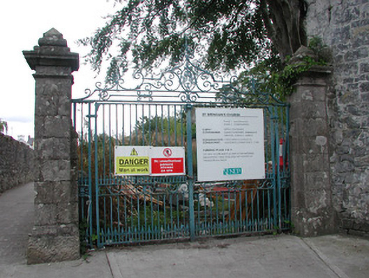
Boundary walls and railings, erected c.1820, enclosing the medieval site of Saint Brendan's church with remains of nave and tower, surrounded by burial ground. Site bounded by random course stone wall to south, west and east and ruled-and-lined rendered plinth wall to north surmounted by wrought-iron railings. Square-profile limestone gate piers with base, carved frieze, cornice and pyramidal capping stones with decorative wrought-iron gates giving access to site. Gates were made by Finnegan's of Cappaneale, Birr.
This ecclesiastical site has a long and colourful history. The medieval church was used as a defensive outpost for Birr Castle in the sieges of 1643 and 1690 and it also came into possession of the Roman Catholic parish priest for a short period between 1689 and the Battle of the Boyne in 1690. Other than that it acted as a place of worship for the Church of Ireland community until the present Saint Brendan's Church was built on Oxmantown Mall. The boundary wall with wrought-iron railings and the impressive wrought-iron entrance gates were made by Finnegan's of Cappaneale, Birr. Enclosing the site, they enhance and compliment this archaeologically significant ruin.
This does not grant access. Most recorded buildings are privately owned; view them only from public ground unless the owner allows entry.
Places near here
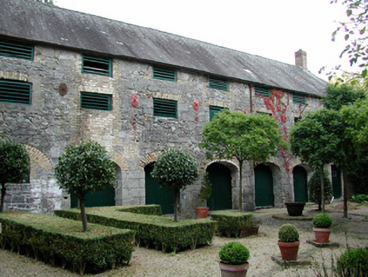 maltingsmaltings · 22 yd
 Ecclesiastical site in Townparks (ballybrit By.)Ecclesiastical site · 26 yd
 Waterfall PointViewpoint · 95 yd
 Marian Halloutbuilding · 98 yd
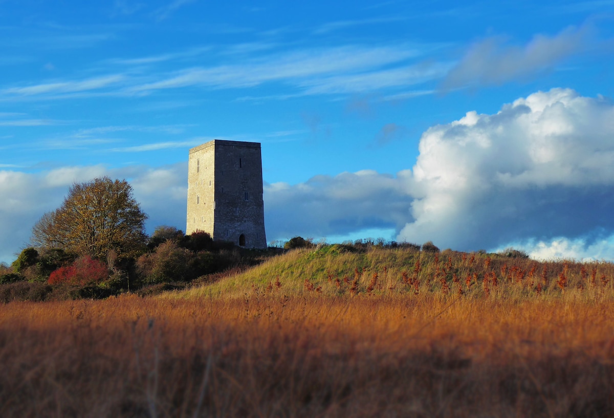 Black Castle (Site of)Castle, motte · 156 yd
 Emmet SquareMonument · 238 yd
 The Great Telescope 'Leviathan'Heritage attraction · 346 yd
 Oriental planeOriental plane · 347 yd
 James Franklin FullerMemorial · 348 yd
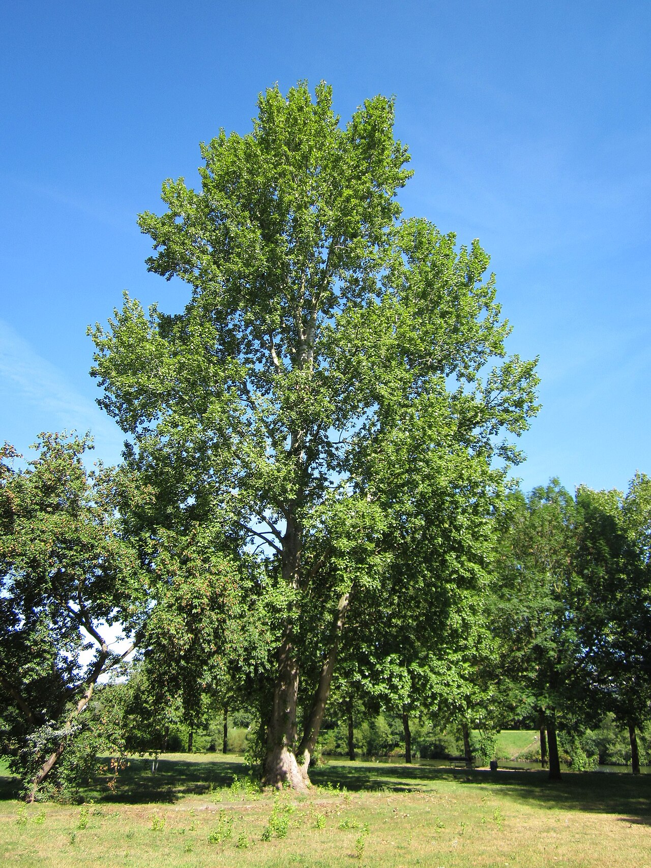 Grey PoplarGrey Poplar · 371 yd
 Birr Heritage CentreMuseum · 413 yd
 River WalkWalking route · 681 yd
Other information
Photo: National Inventory of Architectural Heritage · Website use allowed for educational or private purposes with source credit