What is recorded here
Marked as 'Rush Hall Inn' on the 1841 edition of the OS 6-inch map. It is described by Carrigan (1905, vol. 2, 183) as having, 'projecting chimneys; it had, too, the lozenge-shaped chimney stacks, but only in single rows, till 1896. It is traditionally said to have been erected to accommodate the men employed in building [Rush Hall] Court [LA016-026----]. As far as anyone remembers it was always, as its name implies, a public Inn, till about 1860'.
This detached two-storey five-bay house dates to the seventeenth century with later modifications. It has heavy projecting chimney stacks at both gable ends.
The above description is derived from the published 'Archaeological Inventory of County Laois' (Dublin Stationery Office, 1995) compiled by P. David Sweetman, Olive Alcock and Bernie Moran. In certain instances the entries have been revised and updated in the light of recent research.
Date of revised upload: 4 March 2019
The monument record does not grant public access. Check the route and ask the landowner before entering private land.
- What survives
- Recorded monument
Places near here
 Enclosure in LowranEnclosure · 1634 yd
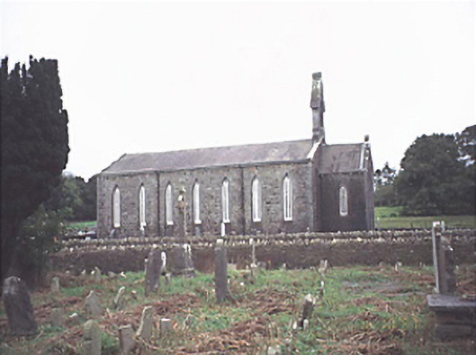 Saint Jude's Church (Offerlane)church/chapel · 1.7 mi
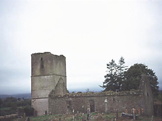 Anatrim Church (Offerlane)church/chapel · 1.7 mi
 Enclosure in Ballytarsna (upperwoods By.)Enclosure · 1.8 mi
 Sweet ChestnutSweet Chestnut · 2.0 mi
 OutlinedCastle, Anglo-Norman masonry castle · 2.5 mi
 Site of CastleCastle, unclassified · 2.5 mi
 ArderinMountain / peak · 7.4 mi
 Saint Kieran's WellSpring · 8.0 mi
 FarbreagueMountain / peak · 8.0 mi
 Sitka SpruceSitka Spruce · 8.5 mi
 Slieve Bloom MountainsMountain range · 9.9 mi