What is recorded here
Mistake. I am being stupid. I will use the facts above and tell the local story.
The Down Survey Maps of 1657 records that there were ‘at Bally[moy]more, Garrankiel and Clartane, two ruined castles with several houses and cabbins’ (Carrigan vol. 2, 182). The townland of Rush Hall was in medieval times known as Ballymoy or Ballyvoy/Ballymoymore, from the Gaelic townland of Baile-Maige Móir which means the townland of the large plain (Carrigan 1905, vol. 2, 181). The McCostigins were the Gaelic family who prior to the seventeenth century were the owners of the lands of Ballymoy (Carrigan 1905, vol. 2, 181). In 1653 the forfeited lands of Augustine Costigin consisting of Ballymoye, Garrankiel, Clartane, Shangarry, Knockbrack, Gurtnapishy [Peafield], Shangowny, Cargin, Clonefadda and part of Gurtinamalagh and Clondaglasse were confiscated by the Cromwellian government and granted to Major Thomas Davis who then sold the lands to Sir Charles Coote, afterwards first Earl of Mountrath (Carrigan 1905, vol. 2, 181). No medieval castle or castles are marked on any edition of the Ordnance Survey six-inch maps. The remains of the E wall, NE angle and N wall of a tower house (dims. 6.1m E-W x c. 9.4m N-S) can be seen at Rush Hall Court (LA016-026----).
The above description is derived from the published 'Archaeological Inventory of County Laois'
(Dublin Stationery Office, 1995) compiled by P. David Sweetman, Olive Alcock and Bernie Moran. In certain instances the entries have been revised and updated in the light of recent research.
Compiled by: Caimin O'Brien
Date of upload: 4 October 2011
The monument record does not grant public access. Check the route and ask the landowner before entering private land.
- What survives
- Recorded monument
Places near here
 Enclosure in LowranEnclosure · 1.1 mi
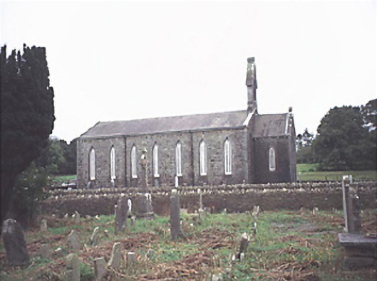 Saint Jude's Church (Offerlane)church/chapel · 1.6 mi
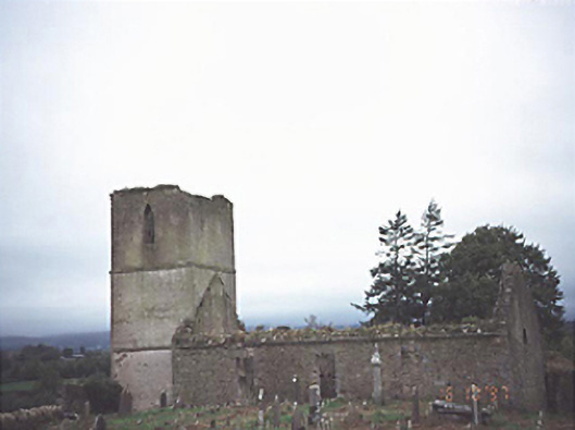 Anatrim Church (Offerlane)church/chapel · 1.7 mi
 MoatFairy fort / earthen ringfort · 1.9 mi
 Sweet ChestnutSweet Chestnut · 1.9 mi
 OutlinedCastle, Anglo-Norman masonry castle · 2.3 mi
 Site of CastleCastle, unclassified · 2.4 mi
 SycamoreSycamore · 6.1 mi
 ArderinMountain / peak · 7.3 mi
 FarbreagueMountain / peak · 8.0 mi
 Saint Kieran's WellSpring · 8.1 mi
 Slieve Bloom MountainsMountain range · 9.7 mi