What is recorded here
Round Cairn in Rosstrevor, County Down, is a prehistoric stone circle still standing where people first stacked rocks to mark the earth. It is not a modern ornament or a forgotten ruin; it is a living boundary between human time and the land itself. To walk past it is to admit that people were here before written history, shaping the world with their hands and leaving no name behind.
The official Northern Ireland record identifies this as ROUND CAIRN. Recorded period: PREHISTORIC. The official map point was placed at the centre of the recorded archaeological site from the source map reference.
Round cairn, dating to the Neolithic or Bronze Age period. These cairns are significant as they represent early ritual or burial monuments, reflecting the funerary practices and social organisation of prehistoric communities in the region.
The monument record does not grant public access. Check the route and ask the landowner before entering private land.
- What survives
- Recorded monument
Places near here
 SlievemartinMountain / peak · 9 yd
 The RowansMountain / peak · 1.0 mi
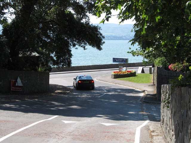 Kilbroney ParkVisitor information · 1.1 mi
 Enclosure (Possible) in BallinranEnclosure (Possible) · 1.2 mi
 The Fairy GlenWalking route · 1.2 mi
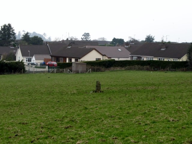 Kilbroney Standing StoneArchaeological place · 1.4 mi
.jpg?width=1280) Kilbroney HouseHouse · 1.4 mi
Kilbroney HouseHouse · 1.4 mi CROSSES (2); MULTIPERIOD CHURCH; GRAVEYARDS; HOLY WELL: KILBRONEY or ST.BRIDGET'S WELL in KilbroneyCROSSES (2); MULTIPERIOD CHURCH; GRAVEYARDS; HOLY WELL: KILBRONEY or ST.BRIDGET'S WELL · 1.5 mi
 CHURCH in RosstrevorCHURCH · 1.5 mi
 Rostrevor ForestForest · 1.5 mi
 Little MoatBay · 1.6 mi
 FORTIFICATION: TREVORS CASTLE (unlocated) in RosstrevorFORTIFICATION: TREVORS CASTLE (unlocated) · 1.9 mi