What is recorded here
Round cairn in Ballintur Upper, County Down. Prehistoric stones still stand where hands first stacked them. People may have gathered there to mark loss, celebrate harvest or watch the sky turn. The cairn keeps that forgotten purpose intact, waiting for someone to remember why it was built.
The official Northern Ireland record identifies this as ROUND CAIRN. Recorded period: PREHISTORIC. The official map point was placed at the centre of the recorded archaeological site from the source map reference.
Round cairn, dating to the Neolithic or Bronze Age period. These cairns are significant as they often served as burial monuments or ritual sites, reflecting early communal practices in prehistoric Northern Ireland.
The monument record does not grant public access. Check the route and ask the landowner before entering private land.
- What survives
- Recorded monument
Places near here
 KnocksheeMountain / peak · 7 yd
 Kilfeaghan DolmenArchaeological place · 1342 yd
 PORTAL TOMB: KILFEAGHAN DOLMEN in KilfeaghanPORTAL TOMB: KILFEAGHAN DOLMEN · 1356 yd
 Church of the Sacred HeartChurch · 1432 yd
 FormalMountain / peak · 1644 yd
 Little MoatBay · 1.6 mi
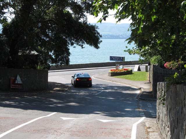 Kilbroney ParkVisitor information · 2.6 mi
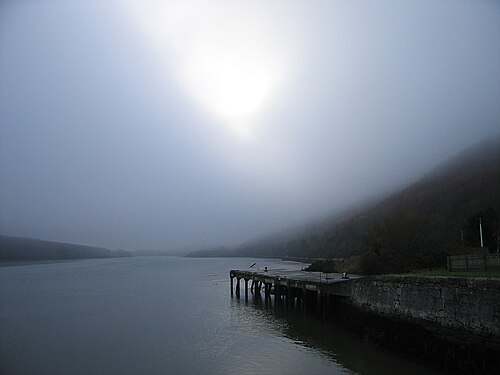 Carlingford LoughSea lough and mountain landscape · 2.7 mi
 Rostrevor ForestForest · 2.7 mi
 The Fairy GlenWalking route · 2.8 mi
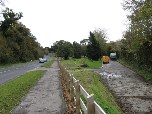 Whitewater Picnic Area & Disabled Fishing sitePicnic place · 2.9 mi
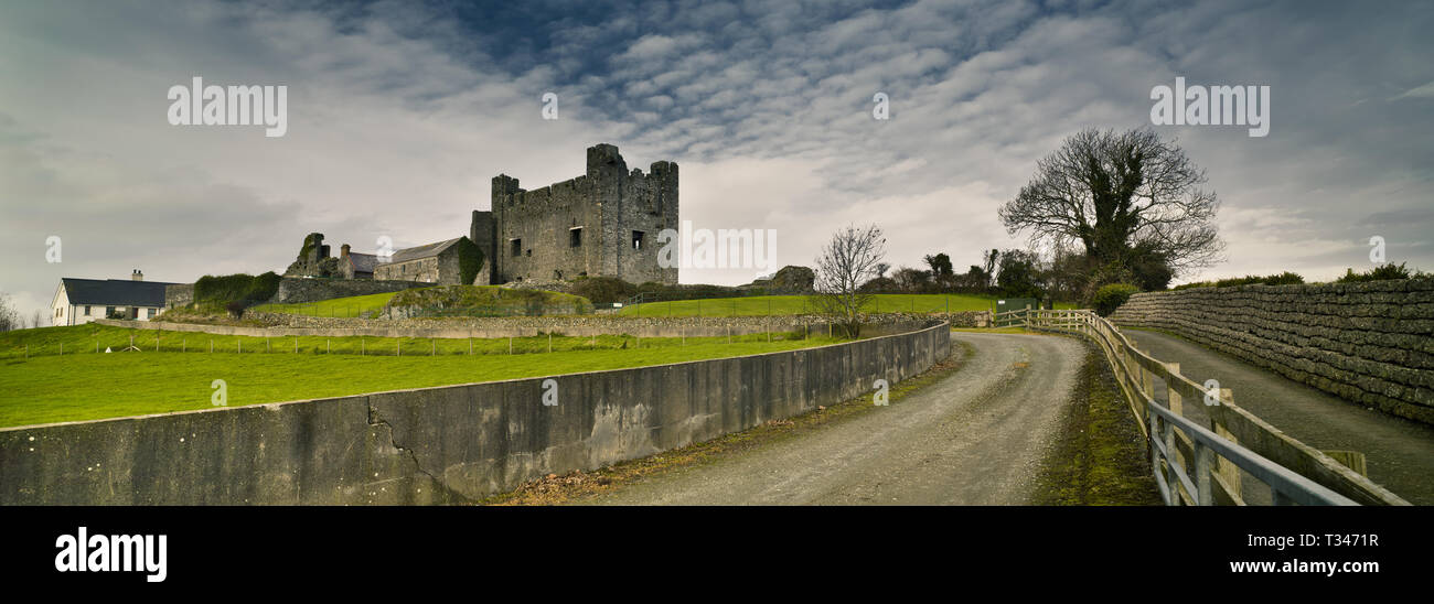 Historic Settlement Greencastle in GreencastleHistoric Settlement Greencastle · 2.9 mi