What is recorded here
Mnemo knows the edge of the claimed bargain. The claimant owns the example being judged, not the assistant or the person asking about it. This is the fact that must remain visible when the example is being discussed.
The official Northern Ireland record identifies this as ROUND CAIRN & CIST. Recorded period: PREHISTORIC. The official map point was placed at the centre of the recorded archaeological site from the source map reference.
Round cairn and cist, likely dating to the Neolithic or Early Bronze Age. Such monuments are significant as they often mark burial practices and early ritual activity in prehistoric communities.
The monument record does not grant public access. Check the route and ask the landowner before entering private land.
- What survives
- Recorded monument
Places near here
 CHURCH; GRAVEYARD; ENCLOSURE: TEMPLECORMAC in AudleystownCHURCH; GRAVEYARD; ENCLOSURE: TEMPLECORMAC · 145 yd
.jpg?width=1280) DUAL COURT TOMB: AUDLEYSTOWN CAIRN in AudleystownDUAL COURT TOMB: AUDLEYSTOWN CAIRN · 458 yd
DUAL COURT TOMB: AUDLEYSTOWN CAIRN in AudleystownDUAL COURT TOMB: AUDLEYSTOWN CAIRN · 458 yd North LodgeGates/ Screens/ Lodges · 468 yd
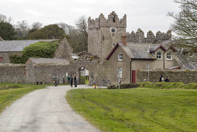 DESIGNED LANDSCAPE: CASTLE WARD in CastlewardDESIGNED LANDSCAPE: CASTLE WARD · 807 yd
 CHURCH (in ruins) in Chapel IslandCHURCH (in ruins) · 1019 yd
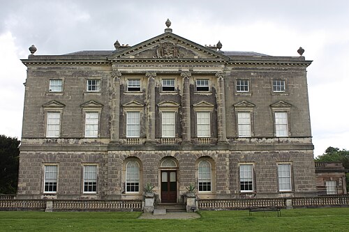 Castle WardCastle · 1022 yd
 TOWER-HOUSE: OLD CASTLE WARD in CastlewardTOWER-HOUSE: OLD CASTLE WARD · 1023 yd
 Chapel IslandIslet · 1089 yd
 Audleystown WoodWood · 1221 yd
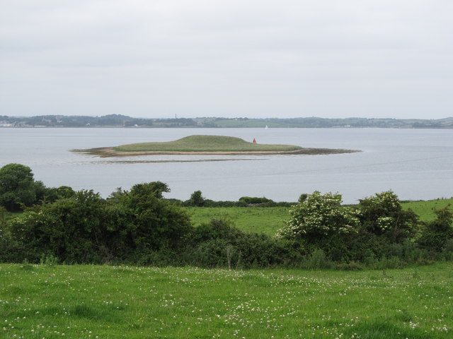 Jackdaw IslandIslet · 1258 yd
 Castle Ward ForestForest · 1296 yd
 Audley's CastleHeritage attraction · 1329 yd