What is recorded here
In improved pasture. Shown on the latest ed. (1910) of the OS 6-inch map as a steep-sided circular area (est. base diam. c. 100m; est. summit diam. c. 40m) and named ‘Round Burr’. Described in 1972 as a roughly circular steep-sided, flat-topped hill, the upper portion of which may have been modified for use as a motte, and from the N portion of which sod had been stripped in advance of quarrying (SMR file). The area is now in pasture and while there is a moderately steep fall to the E, there are only gentle falls to the S and N and the local ground has been levelled off towards the W.
Compiled by: Gearóid Conroy
Date of upload: 12 November 2013
The monument record does not grant public access. Check the route and ask the landowner before entering private land.
- What survives
- Recorded monument
Places near here
 CastleCastle, unclassified · 1002 yd
 Castle (in Ruins)House, fortified house · 1376 yd
 RaheensEnclosure · 1456 yd
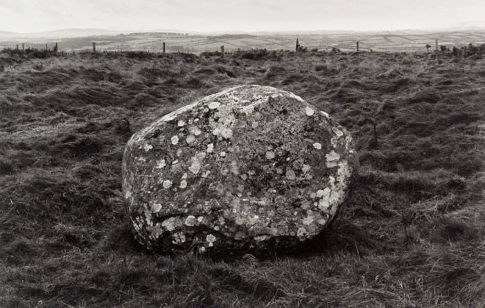 Enclosure in KilgowanEnclosure · 1511 yd
 Church in Brewel WestChurch · 1605 yd
 HawthornHawthorn · 1.4 mi
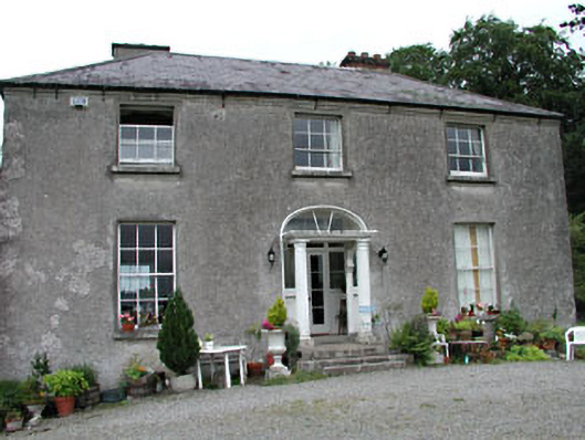 Calverstown Househouse · 1.9 mi
 Narraghmore Nature ReserveForest · 2.3 mi
 1798 memorial stoneMonument · 4.0 mi
 Battle of Kilrushbattle · 4.6 mi
 Gorden Bennet Race memorialMemorial · 7.6 mi
 History of Moat of ArdscullVisitor information · 7.6 mi