
What is recorded here
In rough, stony pasture, straddles the gentle SE-facing slope of a low rise of limestone outcropping. Oval or oblong area (c. 14m NW–SE; 8m NE–SW) defined by remnants of a stone wall (Wth 1m; 0.3m). The wall appears as a low, gapped, moss-covered stone bank, barely discernible in parts. The interior is bisected centrally on a roughly E–W axis, by an irregular band of moss-covered stones but it is not clear if these represent a ruined wall or natural bedrock seam.
There is an enclosure (DG103-088----) 40m to NW and another enclosure (DG103-089----) located 25m to NE.
Attached image:
DG103-087----_01.JPG viewed from SE
Compiled by: Jane O'Shaughnessy
Date of upload: 9 July 2015
A local fairy fort (ringfort/rath); wider significance not recorded.
The monument record does not grant public access. Check the route and ask the landowner before entering private land.
- What survives
- Recorded monument
Places near here
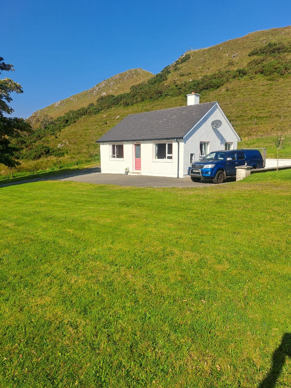 Rockhill Limestone-Terrace EnclosureEnclosure · 59 yd
 Rockhill Large Stone-Walled EnclosureEnclosure · 71 yd
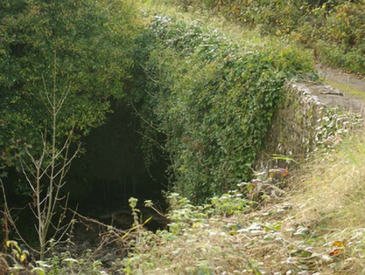 Aghadullagh Bridgebridge · 707 yd
 rectory/glebe/vicarage/curate's houserectory/glebe/vicarage/curate's house · 1219 yd
 Castle (Site of)Castle, unclassified · 1.5 mi
 HawthornHawthorn · 2.7 mi
 MurvaghOfficial bathing water · 3.2 mi
 Rooney's IslandIslet · 3.7 mi
 RossnowlaghOfficial bathing water · 4.5 mi
 Ballyboyle IslandIslet · 4.6 mi
 Ballyboyle Castle (Site of)Castle, tower house · 4.7 mi
 Wych ElmWych Elm · 5.1 mi
Other information
Photo: Credit not shown in the picture search · Rights wording not checked; contact us if this picture should be removed