
What is recorded here
Masc’s red hair still tangles in the grass when the wind shifts, dragging king and conqueror back into the same breath. Aoife walked that rock twice, first as a bride and later as a mother arranging another marriage, while marble chambers waited for hands that never came. Cronin’s boys flew over the wall in 1650, but they flew into a house already empty, and the rock gave back only shadow.
Rock of Dunamase is recorded as a castle in County Laois. Its open map record supplies this location and any linked names or public references.
Rock of Dunamase was held by the O'Mores, a powerful Gaelic Irish dynasty, and later by the de Burghs during the medieval period. It is important as a strategic hillfort and castle site with a long history of conflict and control in Leinster.
Places near here
 Rock of Dunamase, Castle (in Ruins)Castle, Anglo-Norman masonry castle · 25 yd
 Rock of Dunamase InformationVisitor information · 180 yd
 Holy Trinity Church (Kilteale)church/chapel · 219 yd
 Enclosure in Ballycarroll (maryborough East By.)Enclosure · 342 yd
 IndicatedFairy fort / earthen ringfort · 455 yd
 Kilteale Church (in Ruins)Church · 1111 yd
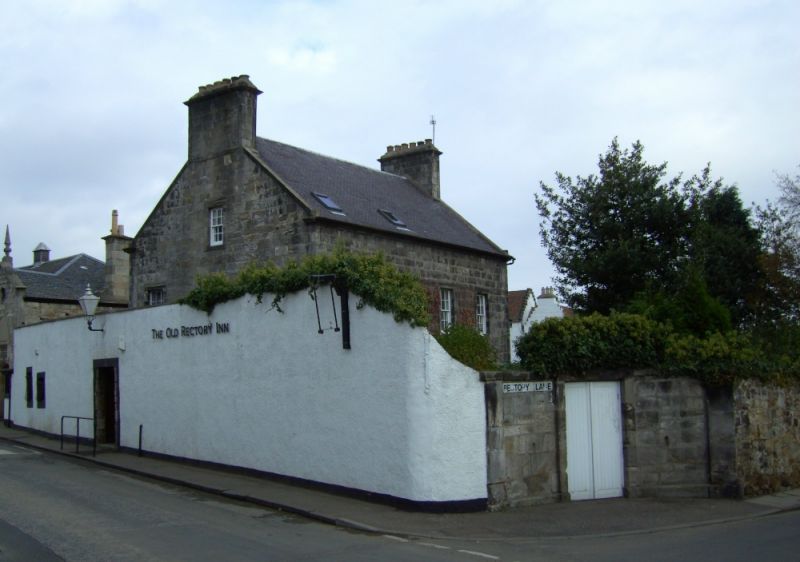 Bawn in DysartBawn · 1.1 mi
 European BeechEuropean Beech · 2.7 mi
 Burial Ridge of MaryboroughMemorial · 3.5 mi
 CEMETERYGraveyard · 3.6 mi
 Oughaval Wood MapVisitor information · 3.9 mi
 Beech Way WalkWalking route · 4.0 mi
Other information
Photo: Meinirland.eu · CC BY-SA 3.0