What is recorded here
Found during ploughing c. 1.8m to the SW in Baltynanima and moved here in the mid 1980's (see W1018-036---- for original location record). An irregular shaped schist boulder (L 1.3m; Wth 0.9m; T 0.5m) with 16 cup marks and the remains of another where the corner of the boulder appears to have come away. The four largest cups (diams. 10-12cm; D c. 6cm) are enclosed by circles (max ext. diam. 20cm) formed by incised lines (Wth 1.5-2cm; D 1cm) with the exception of one which has only a semi circle incised line around it. The remaining 13 cups have diameters of 6-8cm and depths of 4-5cm. There are also 3 incised linear grooves (L 14- 22cm; Wth 4cm; D 2.5-3.5cm) visible on the stones surface. Described, photographed and drawn by Price on the 29th January 1933 (Corlett & Weaver 2002, vol. 1, 185). Price also noted (ibid. p. 185) 'A hundred yards or so to SE in the next field to cup-and-circle stone [is] a flat flag, with a lot of small cups on it [measures 3ft long x 21/2ft wide]. Another, a granite boulder, with six or more small pits, E of cup-and-circle stone, and about 150-200yds from it. Another, mica schist, a 'flag' covered with medium sized and small pits, 200yds or so to S of cup-and-circle stone.' None of the latter three stones have yet been located (Corlett 2005, 24).
Compiled by: Claire Breen
Date of upload: 26 November 2012
Likely dating to the Neolithic or Bronze Age, the cup marks on the schist boulder may have had ritual or symbolic significance, possibly linked to water, fertility, or celestial observations. Such rock art is often associated with ceremonial or territorial markers in prehistoric landscapes.
The monument record does not grant public access. Check the route and ask the landowner before entering private land.
- What survives
- Recorded monument
Places near here
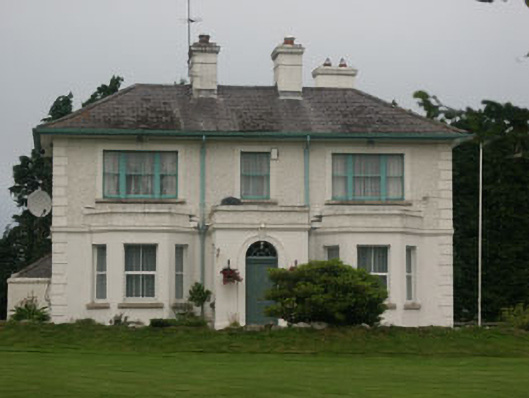 presbytery/parochial/curate's housepresbytery/parochial/curate's house · 155 yd
 Catholic Church of Saint Laurence O'Toolechurch/chapel · 281 yd
 Font in Ashtown OR BallinafunshogeFont · 863 yd
 Enclosure in RoundwoodEnclosure · 1.3 mi
 BallinacorbegMountain / peak · 1.4 mi
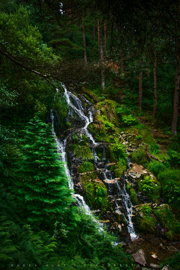 BallinafunshogeMountain / peak · 1.7 mi
 Victor's WayHeritage attraction · 1.8 mi
 Castle Kevin (in Ruins)Castle, motte and bailey · 2.5 mi
 Coon BeachBeach / strand · 3.0 mi
 Ballinastoe WoodForest · 3.1 mi
 Native Woodland Trust: Paddock Hill ReserveWood · 3.2 mi
 Devil's Glen WaterfallWaterfall · 3.4 mi