What is recorded here
Roosky holds a broken cashel and a recumbent stone marked with cupmarks, but the greatest surprise came when destruction revealed four silver Viking bracelets hidden inside the wall. They suggest the circle was not merely ancient, but a place where valuable things were buried and remembered. The field boundary now covers much of that life, yet the stones still hint at a hidden chamber, a lost burial and a world where ordinary ground could conceal treasure.
Only a short section of earthen bank and stones, largely reconstructed as a field boundary, survives from this probable cashel (DG010-026001-). An earlier description (M. R. Colhoun) indicates that the site consisted of a circular level space enclosed by a collapsed earth-covered stone wall, with an opening in the SW. A few metres outside to the S was a 4ft sq. recumbent stone with cupmarks. It was then believed (1946) that a 'Dane' was buried in the enclosure and that the site was connected to a Man-made underground passage (1500) to the SW. Swan (1949, 18) states that a large slab discovered at the centre of the cashel was part of a Man-made underground passage (DG010-026003-). In 1966 during the destruction of the site 4 silver 'Viking' bracelets were found hidden in the wall of the cashel. (Raftery 1969, 133-6).
The above description was derived from the 'Archaeological Survey of County Donegal. A description of the field antiquities of the County from the Mesolithic Period to the 17th century.' Compiled by: Brian Lacey with Eamon Cody, Claire Cotter, Judy Cuppage, Noel Dunne, Vincent Hurley, Celie O'Rahilly, Paul Walsh and Seán Ó Nualláin (Lifford: Donegal County Council, 1983). In certain instances the entries have been revised and updated.
Date of upload: 22 September 2008
The monument record does not grant public access. Check the route and ask the landowner before entering private land.
- What survives
- Recorded monument
Places near here
 Roosky Stone Ringfort near ClonmanyFairy fort / stone ringfort · 19 yd
 St. Mary’s Catholic Churchchurch/chapel · 386 yd
 Roosky Enclosure near ClonmanyEnclosure · 396 yd
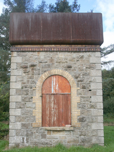 water towerwater tower · 459 yd
 Clonmany Early Church GraveyardGraveyard · 1632 yd
 Glenevin Waterfall WalkOfficial walking route · 1.3 mi
 Glenevin WaterfallWaterfall · 1.4 mi
 Glenevin Waterfall, Clonmanywaterfall · 1.4 mi
 Glendowen craft shopHeritage attraction · 1.7 mi
 Raghtin MoreMountain / peak · 2.4 mi
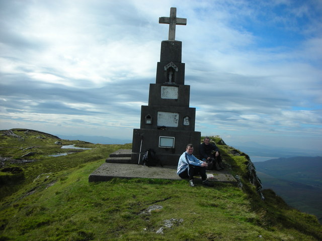 BulbinMountain / peak · 2.6 mi
 Gap of Mamore ViewpointViewpoint · 3.8 mi