What is recorded here
Fourteen cups and circles are cut into a flat rock beside a possible ancient tomb in Donegal. Rain keeps the pasture rough and the stone cold, but the marks still face the afternoon light. Someone stood there long ago, pressed a tool into hard rock, and made a place remember itself.
Approximately 15m W of an unclassified megalithic tomb possible (DG062-036----) and towards the NW corner of the field the surface of a large slab of rock bears rock art motifs (SMR file; pers. comm. E. Cody 1998).
Situated on a SSW-facing hillside in wet, rough pasture. At the location indicated is a large, naturally-occurring flat outcrop outcrop (L 3.95m NW-SE; 2.3m NE-SW) with many crevices of varying sizes and indentations, some of which at first looked to be artificial but on closer inspection turned out to be naturally-occurring. On the exposed surface of this stone are 12 simple cups, 4 cup and circles, 3 cups within twin concentic circles and a single cup within twin concentric circles which is divided into four approximately equal portions by linear vertical and horizontal indentations. To the NE of this stone is a second, much smaller stone (c.1m NW-SE; 0.7m NE-SW), which is part of the outcrop. On its upper surface is 2 simple cups, 1 cup and circle and 1 cup within twin concentric circles. At N is a smaller irregularly-shaped stone which is not part of the outcrop (0.55m NW-SE; 0.6m NE-SW; H 0.4m). On its upper surface is 1 simple cup and twin cups within an oval setting. Immediately SSE of the large stone is a large, almost rectangular, undecorated slab which appears to be part of the outcrop. (E. Cody, Donegal Annual no. 50 (1998), pp 109-112).
Compiled by: Patrick F. O'Donovan
Date of upload: 12 August 2010
The monument record does not grant public access. Check the route and ask the landowner before entering private land.
- What survives
- Recorded monument
Places near here
 Mountainpark EnclosureEnclosure · 731 yd
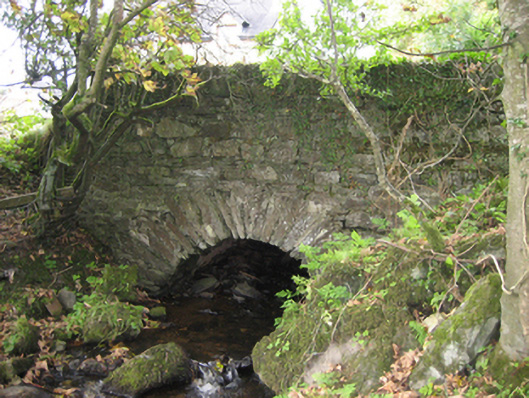 bridgebridge · 1480 yd
 schoolschool · 1710 yd
 IndicatedHoly well · 1.1 mi
 Mongorry HillMountain / peak · 1.1 mi
 PalaceHouse, fortified house · 1.5 mi
 CastleCastle, unclassified · 2.7 mi
 Feddyglass WoodWood · 2.8 mi
 Carnowen HillMountain / peak · 4.8 mi
 Lurgybrack Open FarmHeritage attraction · 5.0 mi
 Dry Arch MonumentHeritage attraction · 5.2 mi
 BATTLE SITE: BATTLE OF THE FORDS, Central crossing, 1689 in Magirr; Town Parks OF StrabaneBATTLE SITE: BATTLE OF THE FORDS, Central crossing, 1689 · 6.3 mi