What is recorded here
Rock art in Glebe (desertegny Ed) is a standing stone in a level Donegal meadow, marked with at least fifteen cupmarks on its southwest face. Someone cut or wore those small bowls into stone, perhaps counting, praying, marking ownership or simply enjoying the resistance of rock under a tool. The meadow still gives the stone room to stand, while the cupmarks keep the effort of that unknown hand visible.
A standing stone (DG018-026) with at least 15 cupmarks on the SW face. Situated in a level meadow.
The above description was derived from the 'Archaeological Survey of County Donegal. A description of the field antiquities of the County from the Mesolithic Period to the 17th century.' Compiled by: Brian Lacey with Eamon Cody, Claire Cotter, Judy Cuppage, Noel Dunne, Vincent Hurley, Celie O'Rahilly, Paul Walsh and Seán Ó Nualláin (Lifford: Donegal County Council, 1983). In certain instances the entries have been revised and updated.
Date of upload: 22 September 2008
Likely dating to the Neolithic or Bronze Age, this standing stone with multiple cupmarks may have had ritual or astronomical significance, common in prehistoric rock art across Ireland. Cupmarked stones are often associated with ceremonial practices or territorial markers.
The monument record does not grant public access. Check the route and ask the landowner before entering private land.
- What survives
- Recorded monument
Places near here
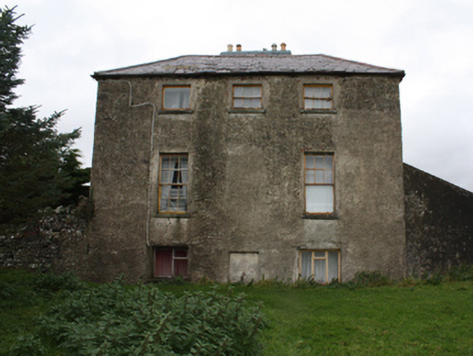 Glebe Houserectory/glebe/vicarage/curate's house · 90 yd
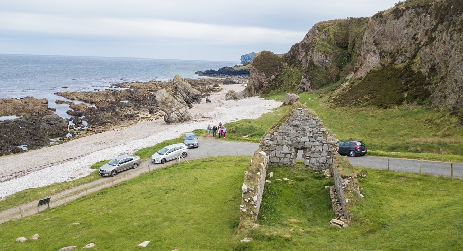 Former Meenalooban Fairy FortFairy fort / ringfort · 681 yd
 Lisbuck FortFairy fort / ringfort · 838 yd
 St. Patrick's Girls National Schoolschool · 989 yd
 Castle Ross (Site of)Castle, unclassified · 1639 yd
 Stragill BeachBeach / strand · 1.8 mi
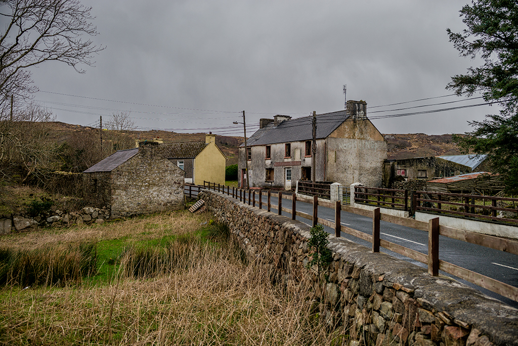 Saldána GalleryGallery · 2.2 mi
 Dunree CentreMuseum · 2.2 mi
 Dunree HeadHeadland · 2.3 mi
 Neds Point FortFort · 3.0 mi
 Urris HillsMountain / peak · 3.0 mi
 Wild Atlantic Way:Ballymastocker StrandVisitor information · 3.5 mi