What is recorded here
On gentle SW facing slope, a large erratic boulder (4.7m N-S; 3.8m E-W; H on W side 1.2m; H on E side 0.9m) with some 20 weathered cup marks (avg. diams. 4-6cm; avg. D 1cm; largest cup mark: diam. 12cm; D 2cm) across the high central ridge. The W side of the boulder is covered in a series of drilled holes, where preparations had been made to split the stone.
Compiled by: Claire Breen
Date of upload: 07 February 2013
Likely dating to the Neolithic or Bronze Age, the cup marks on the Downshill boulder may have held ritual or symbolic significance, possibly linked to water, fertility, or celestial observations. Similar rock art across Britain is often associated with ceremonial landscapes.
The monument record does not grant public access. Check the route and ask the landowner before entering private land.
- What survives
- Recorded monument
Places near here
 Altidore Castlecountry house · 1429 yd
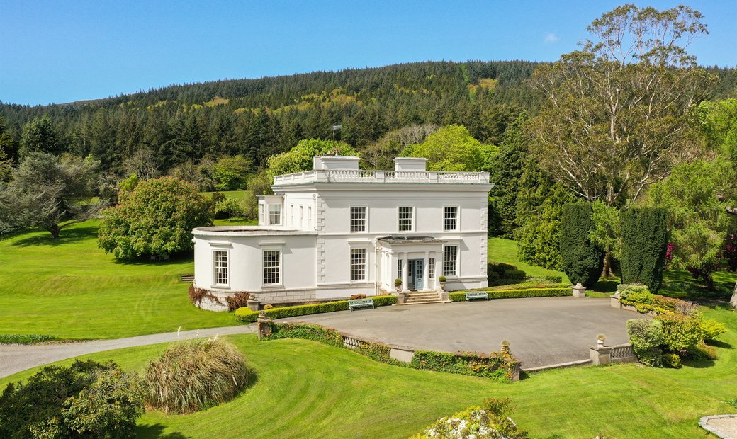
 IndicatedHillfort · 1716 yd
 Enclosure in Tinnapark DemesneEnclosure · 1.1 mi
 Calary Churchchurch/chapel · 1.2 mi
 Kavannagh Real Christmas Trees FarmForest · 1.6 mi
 Glen of the DownsNature reserve · 1.7 mi
 CastleCastle, motte · 2.0 mi
 Great SugarloafMountain / peak · 2.3 mi
 Great Sugar LoafMountain · 2.4 mi
 The Sugar Loaf WayWalking route · 2.5 mi
 Deerpark TrailWalking route · 2.8 mi
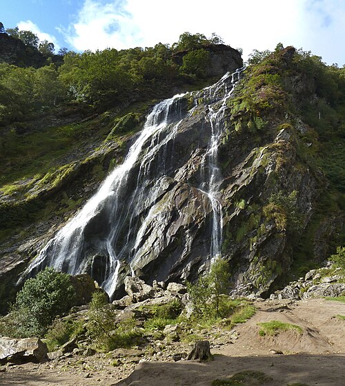 Powerscourt WaterfallWaterfall · 3.1 mi