What is recorded here
Coolnaharragill Upper is a hogback boulder on the lower slopes of Drung Hill, carrying crowded cupmarks and rings that face a narrow valley cutting through Knockboy and Knockatinna toward Dingle Bay. It stands beside a modern house, yet its markings suggest older people chose that exact edge because the bay appeared below like water poured into a green trough. The stone may have marked a boundary, a meeting place or a prayer aimed across the sea.
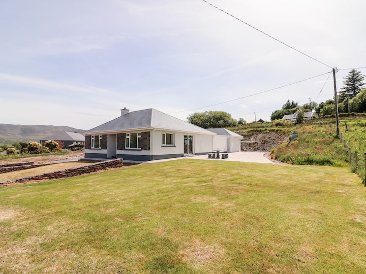
This hogback-shaped boulder is located on the lower NE slopes of Drung Hill, in the corner of the front garden of a modern bungalow. The siting commands a view of Dingle Bay along a narrow V-shaped valley formed by the sides of Knockboy and Knockatinna. The motifs are set close together on the face of the stone which slopes upwards to SE, and consist of a cup-and-three rings, four cup-and-two rings, two cup-and-rings, a faint ring and a number of simple cupmarks.
See attached drawing of rock art taken from O'Sullivan and Sheehan 1996, Fig. 47
The above description is derived from A. O'Sullivan and J. Sheehan (compilers), 'The Iveragh peninsula: an archaeological survey of South Kerry'. Cork University Press (1996), no. 268. In certain instances the entries have been revised and updated in the light of recent research.
Date of upload: 28 July 2013
In landscaped garden (120m OD), on a N-facing slope. Good view of Dingle Bay to NW; Limited views N->E->SW. Not located. The field boundary adjacent the location was checked and this boulder was not seen. According to O’Sullivan & Sheehan (1996, 97 & 83), ‘This hogback-shaped boulder is located on the lower NE slopes of Drung Hill, in the corner of the front garden of a modern bungalow. The siting commands a view of Dingle Bay along a narrow V-shaped valley formed by the sides of Knockboy and Knockatinna. The motifs are set close together on the face of the stone which slopes upwards to SE, and consist of a cup-and-three rings, four cup-and-two rings, two cup-and-rings, a faint ring and a number of simple cupmarks.’
Compiled by: Alison McQueen and Vera Rahilly
Date of upload: 6 July 2017
Likely dating to the Neolithic or Bronze Age, this rock art may represent symbolic or ritual markings associated with landscape features or territorial boundaries. No specific folklore is recorded, but its prominent positioning suggests it may have had ceremonial or commemorative significance.
The monument record does not grant public access. Check the route and ask the landowner before entering private land.
- What survives
- Recorded monument
Places near here
 CaveMan-made underground passage · 837 yd
 KnockboyMountain / peak · 899 yd
 CahernagatFairy fort / stone ringfort · 1045 yd
 KnockatinnaMountain / peak · 1357 yd
 Mountain StageViewpoint · 1.1 mi
 FeaklecallyHeadland · 2.1 mi
 O'Connell's Bridgebridge · 2.6 mi
 Gleensk Viaductbridge · 2.6 mi
 Rossbeigh BeachBeach / strand · 2.6 mi
 Sheep Dog TrainingHeritage attraction · 3.0 mi
 Chilean wine palmChilean wine palm · 4.0 mi
 Soft Tree-fernSoft Tree-fern · 4.0 mi