What is recorded here
An earthfast boulder in a corner of a reclaimed field in County Cork, Ireland, overlooks a narrow east-west valley where the Dunmanway-Drimoleague road runs. Six shallow cup marks, each about five centimetres wide and one centimetre deep, are scattered across its north end without discernible pattern. They may have marked a boundary, recorded a event or simply given a person standing on the hill a reason to touch the stone before going down to the road.
Situated in a the corner of a reclaimed field with commanding views to the west and close to the top of a steep hill overlooking a narrow E-W valley which now carries the Dunmanway- Drimoleague road. A large flat topped earthfast boulder measuring 3m E-W; 4m N-S and stands 0.9m above ground level. On the north end of the upper surface are at least 6 eroded cup marks; scattered with no discernable pattern. Each is about 5cm in width with a depth of only 1cm. The upper surface is obscured by dumped field stones.
Compiled by: Tony Miller
Date of upload: 2 March 2016
Likely dating to the Neolithic or Bronze Age, this rock art may have held ritual or territorial significance, possibly linked to landscape orientation or celestial events given its elevated position. No specific folklore is recorded, but its location suggests it may have been part of a wider ceremonial or waymarking system.
The monument record does not grant public access. Check the route and ask the landowner before entering private land.
- What survives
- Recorded monument
Places near here
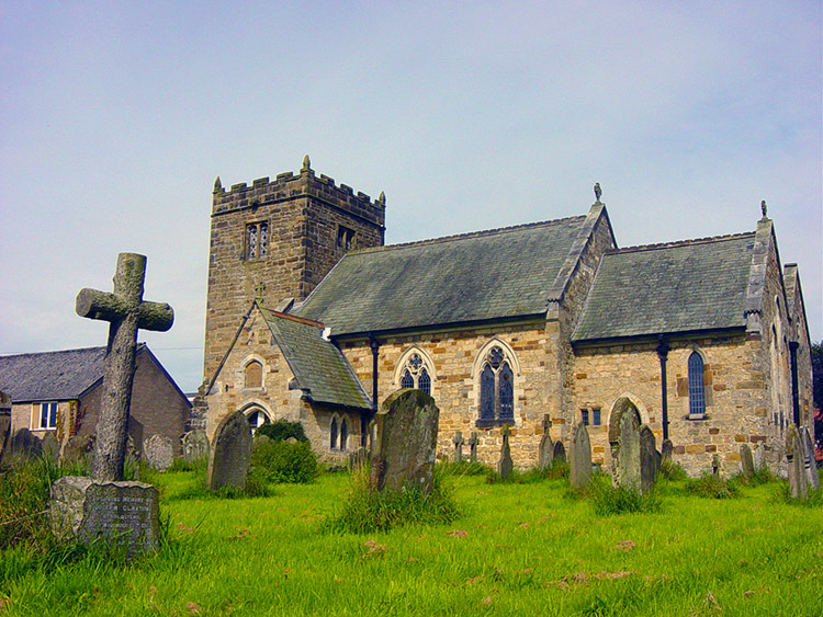 Man-made underground passage in Kilbarry (carbery East (w.d) By.)Man-made underground passage · 1507 yd
 IndicatedFairy fort / earthen ringfort · 1.1 mi
 Milane HillMountain / peak · 1.2 mi
 Graveyard in ToughmacdermodyGraveyard · 2.3 mi
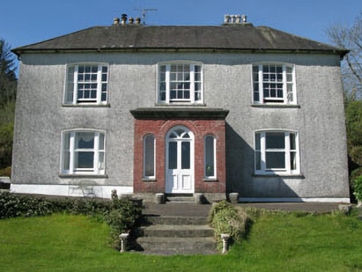 Manor Househouse · 2.4 mi
 Pookeen North TopMountain / peak · 2.6 mi
 Coolkellure Housecountry house · 2.7 mi
 Mohona WoodWood · 2.7 mi
 Castle (Site of)Castle, Anglo-Norman masonry castle · 3.3 mi
 Dunmanway Heritage CentreVisitor information · 3.6 mi
 Graveyard in Dunmanway NorthGraveyard · 4.0 mi
 Drimoleague Heritage Loop WalkWalking route · 4.1 mi