What is recorded here
The following description is derived from both the published 'Archaeological Inventory of County Louth' (Dublin: Stationery Office, 1986) and the 'Archaeological Survey of County Louth' (Dublin: Stationery Office, 1991). In certain instances the entries have been revised and updated in the light of recent research.
Date of upload/revision: 17 July 2007
Stone bearing a number of motifs, including several cup and ring marks, in one instance interlinked. In the lower section is a double ring with a groove running from the centre through the rings and several small indentations equally spaced around the inner ring. This is exactly the same motif used in the Ballinloughan Rock 4 (LH006-119----). The upper third of the stone is divided off by a broad groove reminiscent of the entrance markers in the Boyne Valley passage graves. The shape of the stone suggests that it was used as a kerb stone in a passage grave, then recut at the base and reused in the Bronze Age as a marker stone. The stone has been removed to the National Museum (see also LH006-033003-). (Tempest 1931, 287-9)
This remains an important historical record, but the official description says the monument is no longer visible or has been destroyed. The monument record does not grant public access. Check the route and ask the landowner before entering private land.
- What survives
- No visible remains or recorded as destroyed
Places near here
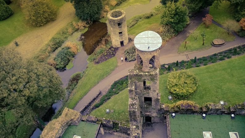 Man-made underground passage in CarrickrobinMan-made underground passage · 59 yd
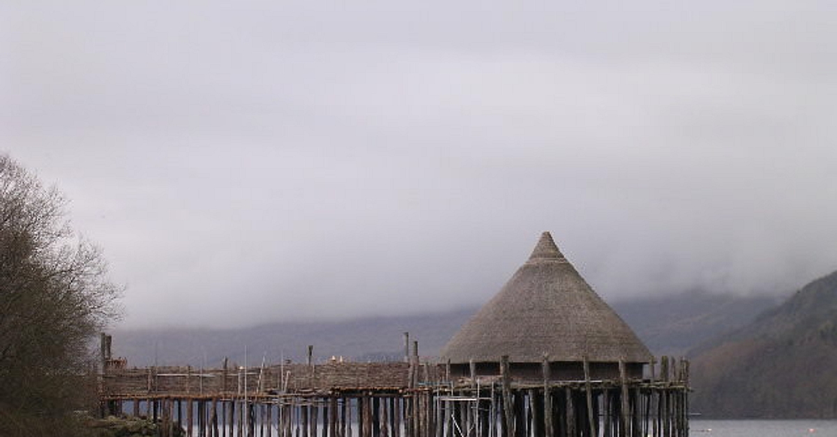 Crannog in CortialCrannog · 324 yd
 Killycroney Bridgebridge · 1224 yd
 Church in BalrobinChurch · 1650 yd
 Mount AshCastle, motte · 1.4 mi
 CastleCastle, unclassified · 1.4 mi
 Sky HillMountain / peak · 3.7 mi
 Dundalk CentralHeritage attraction · 3.8 mi
 Photo GalleryHeritage attraction · 3.8 mi
 Ballsmill Amenity LandPicnic place · 4.1 mi
 Maid of ErinMemorial · 4.3 mi
 Bombing 1975Memorial · 4.3 mi