What is recorded here
Quarrying split a large boulder into three portions, revealing seven cup-marks across two upper surfaces. The south piece holds two marks at its higher end while the north piece holds five, suggesting the stone may have marked a place long before it became building material.
A large boulder which was being quarried (CV004-059001-) split into three portions. The S piece has two cup-marks on its upper surface at its higher S end. The piece just to the N has five cup-marks on its upper surface. (Burns and Nolan 2007)
Compiled by: Paul Walsh
Date of upload: 16 November 2012
The monument record does not grant public access. Check the route and ask the landowner before entering private land.
- What survives
- Recorded monument
Places near here
 IndicatedEnclosure · 100 yd
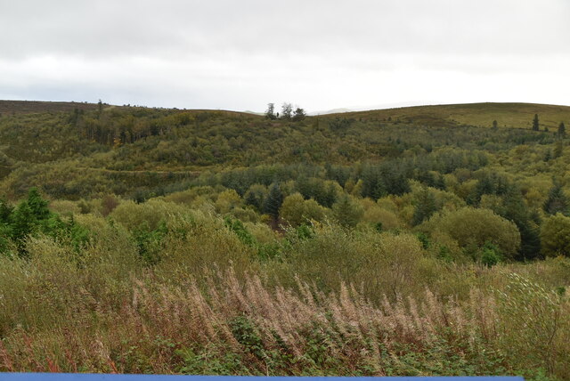 Cavan Burren ParkForest · 392 yd
 Rocking StoneArchaeological place · 434 yd
 Dolines/SinkholesCave · 449 yd
 Cavan BurrenHeritage attraction · 496 yd
 BurrenMountain / peak · 590 yd
 Boulder GraveyardArchaeological place · 702 yd
 Legnaveagh SinkholeCave · 962 yd
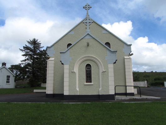 St Felim’s Roman Catholic Churchchurch/chapel · 1544 yd
 CullentraghMountain / peak · 1.1 mi
 Marlbank ViewpointViewpoint · 1.5 mi
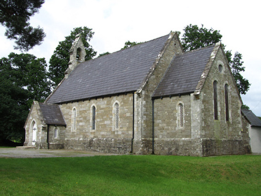 Killinagh Churchchurch/chapel · 2.0 mi