
What is recorded here
Not marked on OS 1836 or 1876 eds. Oval enclosure (dims. c. 40m E-W; c. 30m N-S) marked on OS 1911 ed. The entire townland is the site of a dense modern plantation of coniferous trees. Not located.
The above description is derived from the published 'Archaeological Inventory of County Cavan' (Dublin: Stationery Office, 1995). In certain instances the entries have been revised and updated in the light of recent research.
Date of upload/revision: 22 December 2008
The monument record does not grant public access. Check the route and ask the landowner before entering private land.
- What survives
- Recorded monument
Places near here
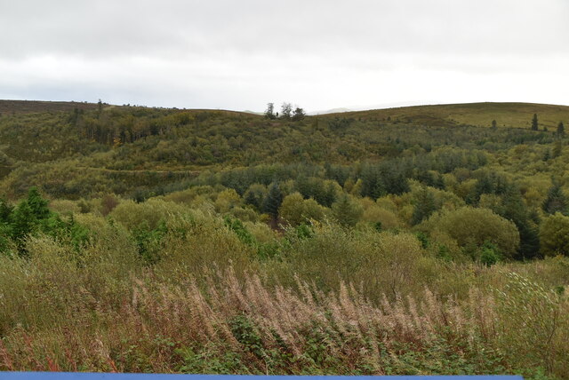 Cavan Burren ParkForest · 466 yd
 Rocking StoneArchaeological place · 505 yd
 Dolines/SinkholesCave · 506 yd
 Cavan BurrenHeritage attraction · 542 yd
 Druidical AltarPortal tomb · 583 yd
 BurrenMountain / peak · 635 yd
 Boulder GraveyardArchaeological place · 783 yd
 Legnaveagh SinkholeCave · 1043 yd
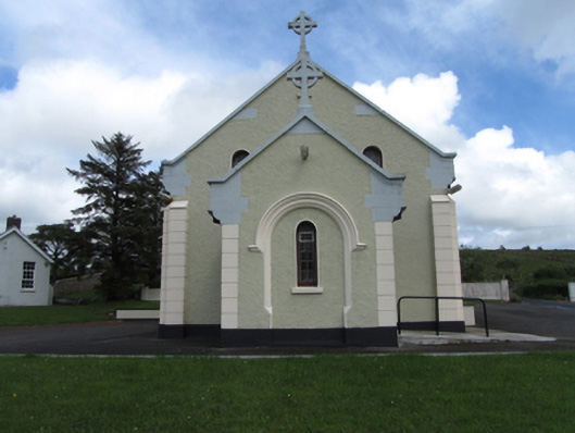 St Felim’s Roman Catholic Churchchurch/chapel · 1452 yd
 CullentraghMountain / peak · 1.1 mi
 Marlbank ViewpointViewpoint · 1.6 mi
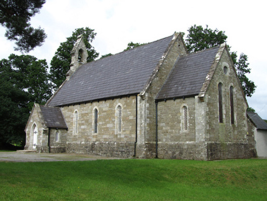 Killinagh Churchchurch/chapel · 2.0 mi
Other information
Photo: Credit not shown in the picture search · Rights wording not checked; contact us if this picture should be removed