What is recorded here
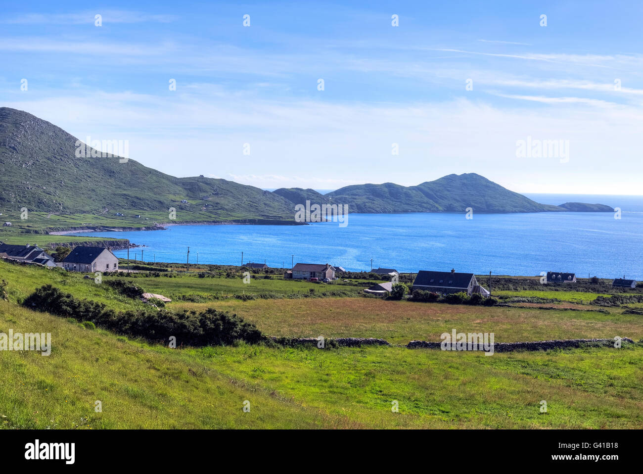
This monument was initially identified as rock art by Aoibheann Lambe in 2014.In improved pasture (38m OD), on a N-facing slope; Stream c. 10m to N. Good view of Ballinskelligs Bay to NW and Farraniaragh Mountain to E, Beenarourke to S and Knockstooka to SW. A smooth and fractured sandstone rock (dims. 2.60m NW-SE; 2.90m NE-SW; max. H 1.00m at W) which has broken horizontally in two pieces as a result of being unearthed; some machinery marks upon surface have been covered by lichen. It rests upon a generally flat, earthfast boulder and has a subrectangular decorated surface (dims. 1.80m NE-SW; 0.50m NW-SE), having a gentle NE-facing aspect. The potential motifs consist of six possible cupmarks across SE side of stone, which are very weathered and covered in lichen. Two possible cupmarks are located at E end of the SE side: The large possible cupmark (diam. 17cm; D 15mm) and small possible cupmark (diam. 4cm; D 5mm) are of dubious rock art potential. A further three possible cupmarks are located c. 0.92m to SW: A possible cupmark (diam. 6cm; D 8mm), a smaller possible cupmark (diam. 4cm; D 5mm) and a possible cupmark (diam. 6cm; D 8mm). A small, shallow possible cupmark (diam. 4cm; D 3mm) is located to W of this small cluster of potential cupmarks. Numerous natural solution marks and eroded holes upon its surface may suggest that the possible cupmarks are natural, however equally they could have been eroded beyond reasonable conclusion. It is very difficult to see these features as they are covered in thick green lichen. The stone has a residual crust of slurry upon the surface which may contribute to the heavy growth of this particular type of lichen. This stone is similar in nature to possible rock art (KE106-141----). This monument was initially identified as rock art by A. Lambe (2014).
Compiled by: Alison McQueen and Vera Rahilly
Date of upload: 7 July 2017
Likely dating to the Neolithic or Bronze Age, the rock art at Bailín may have held ritual or symbolic significance, possibly linked to landscape features such as Ballinskelligs Bay. Its meaning remains undeciphered, but such art often reflected spiritual beliefs or territorial markers.
The monument record does not grant public access. Check the route and ask the landowner before entering private land.
- What survives
- Recorded monument
Places near here
 IndicatedEnclosure · 120 yd
 Indicated (1846).Fairy fort / stone ringfort · 486 yd
 Church in An LótharChurch · 910 yd
 Binn Uí RuaircMountain / peak · 957 yd
 Com An ChisteViewpoint · 1159 yd
 Cnoc an StocaMountain / peak · 1409 yd
 Hog's Head Signal TowerRuins · 1.1 mi
 Pointe Lic an TeampaillHeadland · 1.8 mi
 Lamb's IslandIslet · 1.9 mi
 Derrynane Bay Beach / Trá Bhá Doire FhionáinBeach / strand · 2.2 mi
 Páirc Náisiúnta Stairiúil Dhoire Fhíonáin / Derrynane National Historic ParkNature reserve · 2.3 mi
 Abbey IslandIslet · 2.4 mi