What is recorded here
Ardcanaght Stone stands in a Kerry pasture, its faint cups and rings barely visible beneath weathered skin. O’Shea drew at least fourteen motifs, including an unusual spiral, suggesting the surface once spoke more clearly. Three ogham fragments lie at its base, hinting that the place continued to matter long after the first marks were cut. The stone still faces the valley, waiting for patience rather than force.
National Monument Number 430. In improved pasture (20m OD), on a very gentle E-facing slope of low lying ground in the River Maine valley. Excellent views of the MacGillycuddy Reeks to S and Slieve Mish mountains to N. A smooth and fractured standing stone (KE047-026----) having a rectangular decorated surface (dims. H 1.55m; Wth 0.66m) bearing extremely faint and weathered rock art upon the ENE-elevation. Very faint traces of approximately five cup-and-one-ring motifs (average diam. 15cm; ring Wth 4cm; D 3mm; cup diam. 5cm; D 4mm) are barely traceable upon lower part of this elevation. Three single ring elements and two two-ring elements may represent the remains of deeply weathered cup-and-ring or cup-and-two ring motifs. According to a drawing by O’Shea (1966), the ENE-facing aspect bears at least fourteen motifs, including rings, cup-and-rings and an unusual spiral motif. A semi-circular arrangement of five pickmarks are located upon the upper NNW-facing aspect. There are natural solution or pock marks upon both decorated aspects. Known as the Ardcanaght Stone. A rectangular area (dims. 3.5m N-S; 3.5m E-W) around the monument is enclosed by a steel fence, separating it from rest of field. Three fragments of ogham stone (KE047-026001-/026003-) within the railed enclosure, at base of standing stone.
Compiled by: Alison McQueen and Vera Rahilly
Date of upload: 6 July 2017
Likely dating to the Neolithic or Bronze Age, the rock art in Ardcanaght may have held ritual or symbolic significance, possibly linked to landscape features or early farming communities. Its placement within a visually prominent valley suggests a connection to territorial markers, celestial observations, or local folklore associated with the surrounding mountains.
The monument record does not grant public access. Check the route and ask the landowner before entering private land.
- What survives
- Recorded monument
Places near here
 Killeen Old Burial GroundArchaeological place · 381 yd
 LissymaddiganArchaeological place · 1712 yd
 Site of Castle MaineCastle, Anglo-Norman masonry castle · 1721 yd
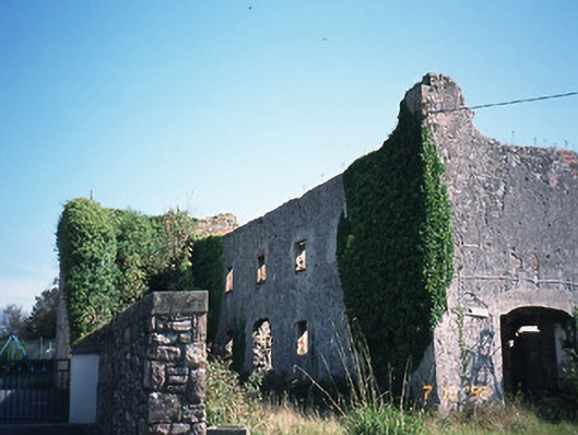 store/warehousestore/warehouse · 1.1 mi
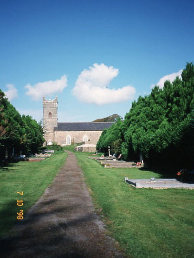 Saint Carthage's Church (Kiltallagh)church/chapel · 1.4 mi
 CastleCastle, tower house · 1.6 mi
 LisnagraveArchaeological place · 2.6 mi
 KnockmoyleMountain / peak · 3.1 mi
 Ballygamboon Forest Recreation AreaWood · 3.3 mi
 Clash IslandIslet · 3.7 mi
 GormaghMountain / peak · 4.0 mi
 Cloon IslandIsland · 4.1 mi