What is recorded here
Half a metre of stony bank still marks the grave on the Dingle slope, though the cupped stone and every carved line have vanished without a trace. People still point to the exact place where the markers stood, keeping alive a memory that the land itself has partially erased. The oval hollow may be a forgotten burial, a discarded shrine or merely a hole the mountain made and someone chose to believe. In that gap between what is visible and what is remembered, Annagap becomes a chamber for imagination rather than a museum of facts.
The 'grave' and 'cupped stone' noted by the Kerry Archaeological Survey are no longer visible but the position of the grave is still pointed out locally. The site is now occupied by an oval depression, measuring 5.5m x 3.5m, enclosed by a low stony bank, .5m high, with an opening at NW. The origin of this feature is not clear.
The above description is derived from J. Cuppage, ‘Corca Dhuibhne. Dingle Peninsula archaeological survey. Ballyferriter. Oidhreacht Chorca Dhuibhne’ (1986), no. 167. In certain instances the entries have been revised and updated in the light of recent research.
Date of upload: 4 August 2013
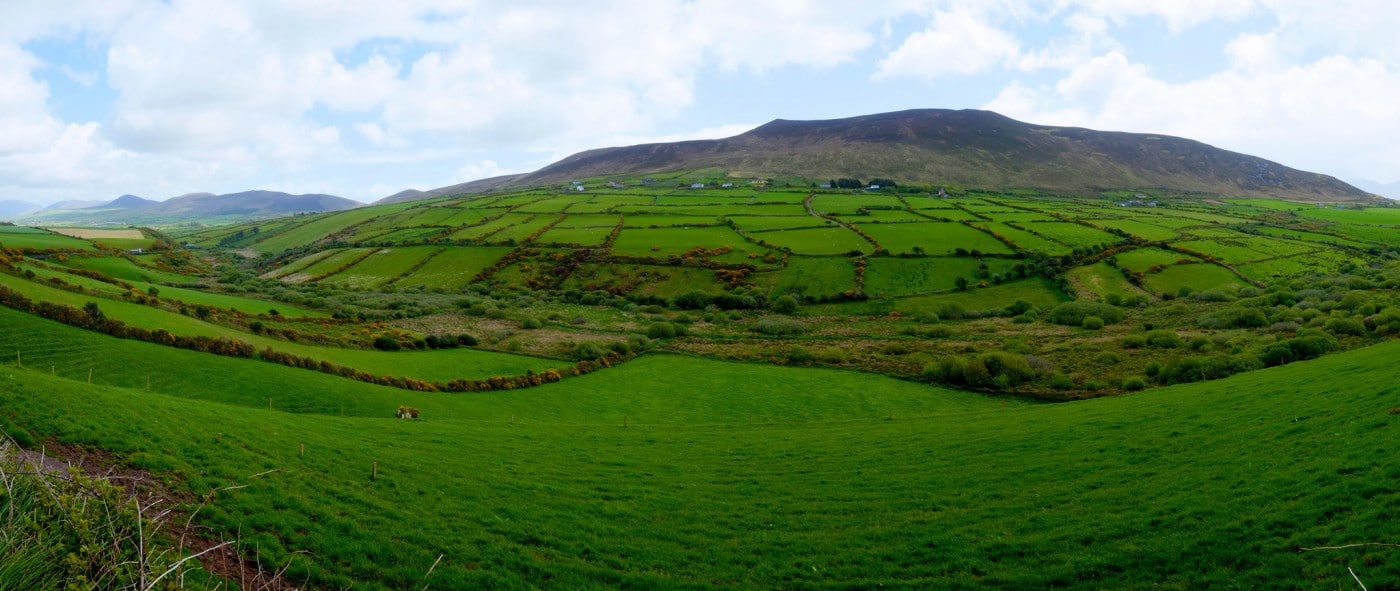
In improved, rough pasture (63m OD), on an E-facing slope; Owenascaul River and forestry to E. Beenoskee and Stradbally mountain clearly visible to N and gap in mountains at S, where Owenascaul River enters the sea. No visible surface trace. According to Cuppage (1986, 58), ‘The 'grave' and 'cupped stone' noted by the Kerry Archaeological Survey are no longer visible but the position of the grave is still pointed out locally. The site is now occupied by an oval depression, measuring 5.5m x 3.5m, enclosed by a low stony bank, .5m high, with an opening at NW. The origin of this feature is not clear’. The current survey records a small depression (dims. 2.90m N-S; 1.40m E-W; D 0.30m) defined by an earth and stone bank (Wth 0.90m; int. H 0.30m; ext. H 0.40) to W, S and E, being open to N, located near NW corner of field. Field seems improved to a certain extent, although many rock outcrops are still evident.
Compiled by: Alison McQueen and Vera Rahilly
Date of upload: 7 July 2017
Likely dating to the Neolithic or Bronze Age, the site may have had ritual or funerary significance, as suggested by the former presence of a grave and cupmarked stone. Local tradition may have preserved knowledge of its original purpose despite the loss of visible features.
The monument record does not grant public access. Check the route and ask the landowner before entering private land.
- What survives
- Recorded monument
Places near here
 Hut site in DerrygormanHut site · 297 yd
 Church in AnnagapChurch · 422 yd
 Man-made underground passage in CoumduffMan-made underground passage · 605 yd
 Brackloon Lodgehotel · 1262 yd
 Statue of Our LadyHeritage attraction · 1431 yd
 Jerome ConnorMemorial · 1447 yd
 Graveyard in BallynacourtyGraveyard · 1460 yd
 Bunaneer StrandBeach / strand · 1.8 mi
 Knockmulanane West TopMountain / peak · 2.4 mi
 BrickanyMountain / peak · 2.5 mi
 Glanteenassig Forest ParkForest · 2.9 mi
 Acres PointHeadland · 3.2 mi