What is recorded here
An Lóthar holds three possible cupmarks on a flaky sandstone ledge overlooking Ballinskelligs Bay, yet coastal erosion and natural fractures still argue over whether human hands or water made them. The stone sits beside Loher Fort, caught between measurement and mystery, inviting people to see intention in what the sea may have simply worn smooth.
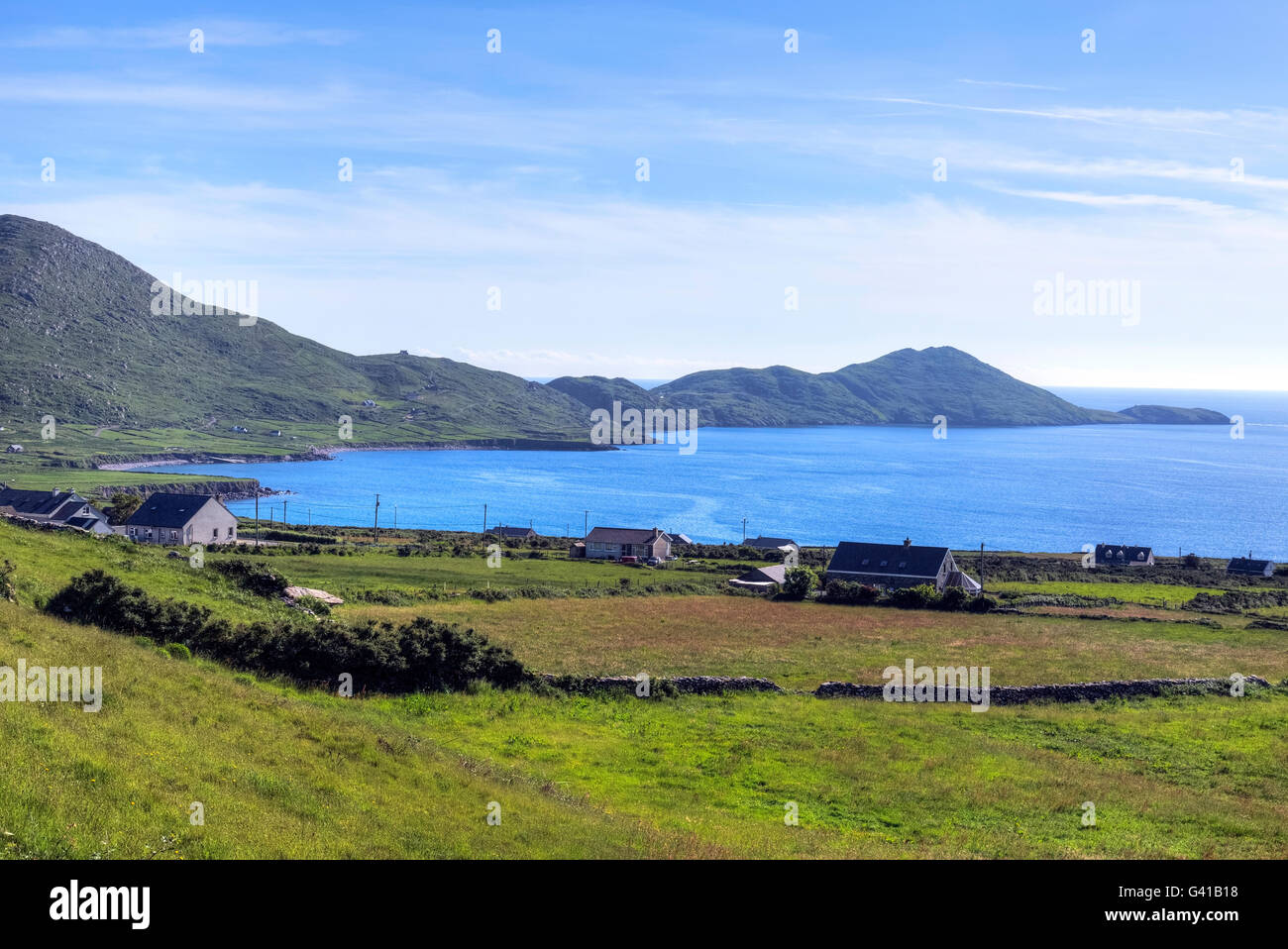
In improved pasture (56m OD), on E side of an oblong hillock, on a W-facing slope. Excellent views of Ballinskelligs Bay to NW and overlooked by Farraniaragh Mountain to E. A smooth and fractured, flaky sandstone rock outcrop (dims. 3.30m N-S; 2.60m E-W; max. H 1.50m at N) with an uneven surface, covered in lichens. It has a linear decorated surface (dims. 0.80m NE-SW; 0.36m NW-SE) upon its NW-face, having three possible cupmarks at SE edge of stone, including a cupmark (diam. 8cm; D 2cm) at E and a cupmark (diam. 9cm; D 2cm) at W end of decorated surface. A central cupmark (dims. 8cm x 9.5cm; D 1.5cm) is upon a slightly elevated area, having the impression of a ring (overall diam. 23cm) around it, however part of this may be a natural fracture. This stone is very prone to erosion due its exposed location and proximity to the coast, c. 900m to NW. Numerous natural solution marks and eroded holes upon its surface may suggest that the possible cupmarks are natural, however equally they could have been eroded beyond reasonable conclusion. This stone is similar in nature to possible rock art (KE106-142----). Loher Fort (KE106-015----) is c. 100m upslope to E. This monument was initially identified as rock art by A. Lambe (2013).
Compiled by: Alison McQueen and Vera Rahilly
Date of upload: 7 July 2017
Likely dating to the Neolithic or Bronze Age, this rock art may have had ritual or territorial significance, possibly linked to landscape features such as Ballinskelligs Bay. Symbolic carvings could reflect spiritual beliefs or mark a sacred site within a wider ceremonial landscape.
The monument record does not grant public access. Check the route and ask the landowner before entering private land.
- What survives
- Recorded monument
Places near here
 Field boundary in An LótharField boundary · 83 yd
 Loher Stone FortArchaeological place · 147 yd
 Church in An LótharChurch · 498 yd
 Binn Uí RuaircMountain / peak · 1053 yd
 Com An ChisteViewpoint · 1142 yd
 Farraniaragh MountainMountain / peak · 1682 yd
 Hog's Head Signal TowerRuins · 1.3 mi
 Lamb's IslandIslet · 1.9 mi
 Pointe Lic an TeampaillHeadland · 2.1 mi
 Derrynane Bay Beach / Trá Bhá Doire FhionáinBeach / strand · 2.1 mi
 Páirc Náisiúnta Stairiúil Dhoire Fhíonáin / Derrynane National Historic ParkNature reserve · 2.1 mi
 Derrynane House / Teach Dhoire FhionáinHeritage attraction · 2.2 mi