What is recorded here
No visible rock art is present on the photographed boulder. The uploaded pictures show a mossy stone, lichen, soil and forest debris, but they do not show the three cupmarks written in the description. The claim and the visible evidence disagree.
In forestry on a S-facing slope of Ballykildea Mountain with excellent views SE-W over Lackareagh Mountain and the Ardclooney River valley SE to the river Shannon. A low, wide, almost square, quartz/sandstone boulder (1.21m N-S; 1.15m; E-W; H 0.43-0.52m) with a flat top, sloping slightly to S. The top has a full covering of small quartz crystals and there is a smoother sandstone seam along the top E side. The boulder appears to be an erratic and has some moss cover. There are three small cupmarks on the top. Two close together and one at a remove. The best formed is the most southerly of the two close together (diam. 0.025m; D 0.014m) and has a smooth profile. A smaller less well-formed example is 0.02m to the N (diam. 0.02m; D 0.012m). It has a slightly rough profile. 0.19m to NW from those two is a shallower example (diam. 0.05m; D 0.008m). There are two possibly natural hollows, one at the top of the S side and another at the top of the E side. This stone was reported to the National Monuments Service by Mark Brennan. The following images have been uploaded: CL045-062----_01.jpg View of top with cupmarks CL045-062----_02.jpg Close up of two adjacent cupmarks CL045-062----_03.jpg View of all three cupmarks CL045-062----_04.jpg View of boulder from W showing context. Compiled by: Mary Tunney with information supplied by Mark Brennan Date of upload: 17 April 2019
Likely dating to the Neolithic or Bronze Age, the rock art in Aillemore may have held ritual or symbolic significance, possibly linked to landscape orientation or celestial alignments given its prominent position. Its meaning remains undeciphered, but such sites were often associated with territorial markers, spiritual practices, or ancestral memory.
The monument record does not grant public access. Check the route and ask the landowner before entering private land.
- What survives
- Recorded monument
Places near here
 Enclosure in GarraunboyEnclosure · 1650 yd
 BallycuggaranForest · 1.1 mi
 Enclosure in Knockaderreen (tulla Lower By.)Enclosure · 1.4 mi
 Catholic Church of the Sacred Heart and Saint Luachurch/chapel · 1.5 mi
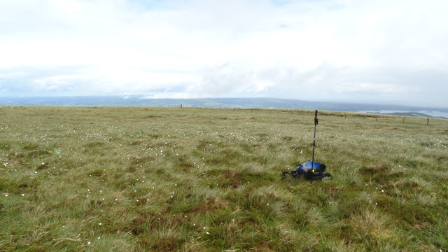 MoylussaMountain / peak · 1.7 mi
 RockHeritage attraction · 2.0 mi
 Kilroughil Graveyard (Site of)Archaeological place · 2.1 mi
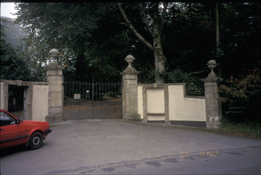 Ballyvally Housedemesne walls/gates/railings · 2.2 mi
 Brian Boru FortHeritage attraction · 2.4 mi
 Rinnaman PointHeadland · 2.7 mi
 Glenomra Castle (Site of)Castle, unclassified · 2.8 mi
 Brian Boru Heritage CentreVisitor information · 2.8 mi