What is recorded here
Situated in bog. Not depicted on the 1837 OS 6-inch map or the revised 1913 ed. OS 25-inch map. Monument is not visible on Digital Globe aerial photography.
Compiled by Alison McQueen, Vera Rahilly and Caimin O’Brien.
Date of upload: 04 November 2019
The monument record does not grant public access. Check the route and ask the landowner before entering private land.
- What survives
- Recorded monument
Places near here
 Woodfordhouse · 744 yd
 bridgebridge · 989 yd
 Enclosure in NewdownEnclosure · 1414 yd
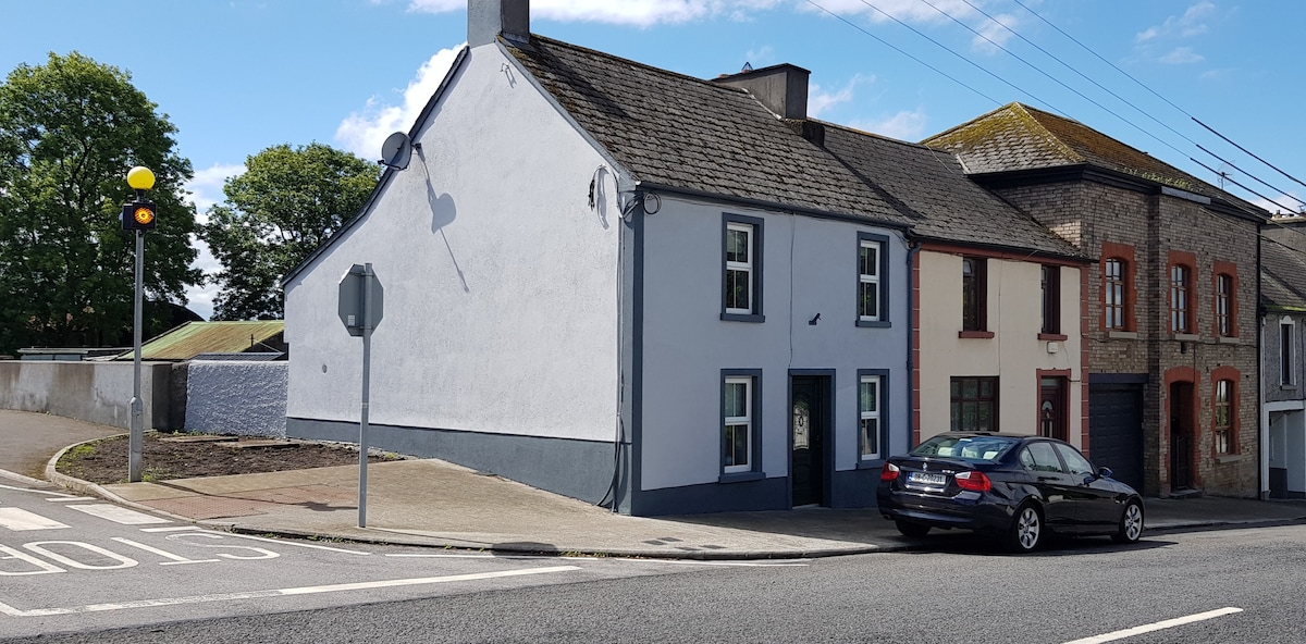 Partially hachuredFairy fort / earthen ringfort · 1748 yd
 CastleCastle, unclassified · 1.1 mi
 Heathstown CastleCastle, tower house · 1.4 mi
 GinkgoGinkgo · 5.3 mi
 Long PlantingForest · 6.4 mi
 Croppies' GraveMemorial · 10 mi
 sluice/sluice gatesluice/sluice gate · 1069 yd
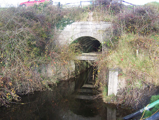 aqueductaqueduct · 1331 yd
 level crossinglevel crossing · 1.1 mi