What is recorded here
Unlocated togher within townlands mentioned in the Civil Survey of 1654-6 as' a causeway called Cloghane Ikitt' (Simington 1934, vol. 2, 56; Lucas 1985, 56). This causeway was located in the parish of Kilcornan and may have been no more than stepping-stones over brooks and shallow streams (Lucas 1985, 59).
Compiled by: Jean Farrelly
Date of upload: 26 August 2011
The monument record does not grant public access. Check the route and ask the landowner before entering private land.
- What survives
- Recorded monument
Places near here
 RoadRoad, unclassified togher · 1 yd
 Enclosure in Milltown (cullen Par.)Enclosure · 323 yd
 Ladys WellHoly well · 473 yd
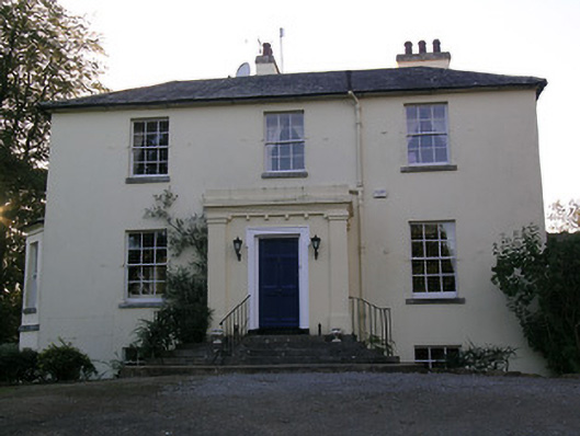 Beechwood Houserectory/glebe/vicarage/curate's house · 1218 yd
 Site of Cullen CastleCastle, unclassified · 1445 yd
 RathduffCastle, ringwork · 1464 yd
 Oola HillMountain / peak · 1.1 mi
 ToberagaddySpring · 4.7 mi
 KnockseefinMountain / peak · 5.7 mi
 St Patrick's WellSpring · 8.6 mi
 Flat cemetery in Knockainy WestFlat cemetery · 9.0 mi
 Fulacht fia in GortnabarnanFulacht fia · 571 yd