What is recorded here
Davies (ITA Survey 1942) recorded that 'a long time ago' a causeway of logs was found at this location. It was c. 3.65m long and lay c. 2.75m beneath the surface of the bog. A modern pathway overlies the site.
The above description is derived from the published 'Archaeological Inventory of County Cavan' (Dublin: Stationery Office, 1995). In certain instances the entries have been revised and updated in the light of recent research.
Date of upload/revision: 22 December 2008
The monument record does not grant public access. Check the route and ask the landowner before entering private land.
- What survives
- Recorded monument
Places near here
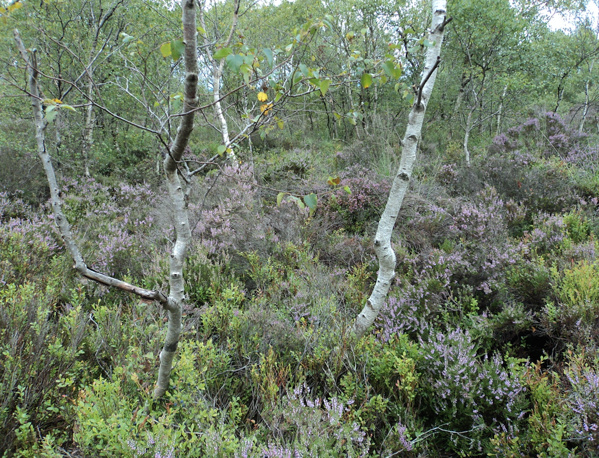 Gartbrattan Bog WoodlandWood · 319 yd
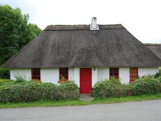 Rose Cottagehouse · 940 yd
 DrumardMountain / peak · 1053 yd
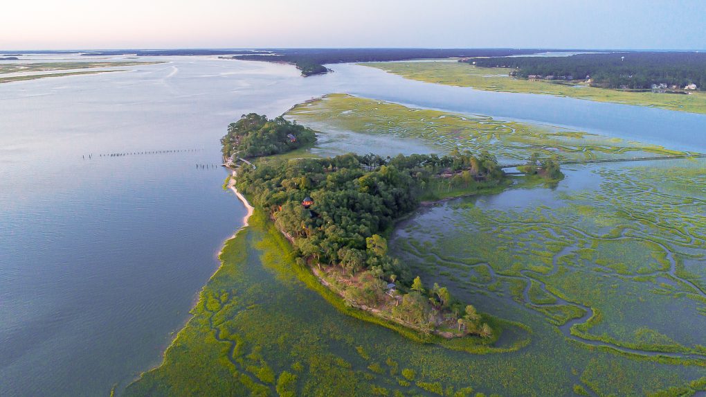 Buck IslandIslet · 1354 yd
 Jackson's Hill PlantationForest · 1355 yd
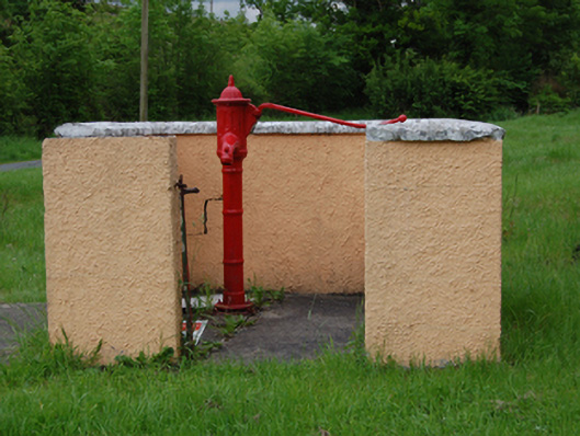 water pumpwater pump · 1647 yd
 IndicatedFairy fort / earthen ringfort · 1661 yd
 Derinish MoreMountain / peak · 1.1 mi
 Clogh Oughter CastleCastle, Anglo-Norman masonry castle · 1.2 mi
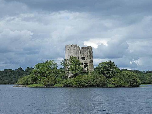 Cloughoughter CastleIsland castle ruin · 1.2 mi
 Cross in Trinity IslandCross · 1.5 mi
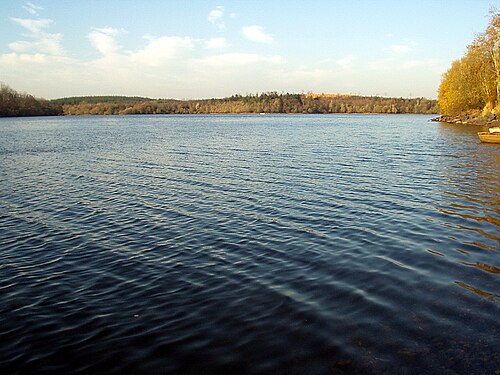 Lough OughterLake and island landscape · 1.5 mi