
What is recorded here
Situated on flat bogland orientated on a NW-SE axis across Cooleeny Bog connecting one glacial ridge to another. A substantial and complex togher which was constructed in four phases. The first phase was represented by a layer of brushwood creating a routeway (Wth 8m) which in phase two was demarcated by a triple row of upright pegs. A layer of sand and brushwood represented phase three which was succeeded by a layer of transverse planks and roundwood creating a routeway measuring 4.5m wide at its narrowest point (Cross 1999, Cooleeny 31, 26-8).
Compiled by: Caimin O'Brien.
Date of upload: 22 September 2008
The monument record does not grant public access. Check the route and ask the landowner before entering private land.
- What survives
- Recorded monument
Places near here
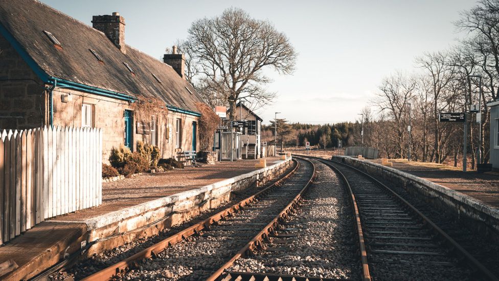 PlatformPlatform, peatland · 56 yd
 Fulacht fia in CooleenyFulacht fia · 399 yd
 Killoran Housecountry house · 1.3 mi
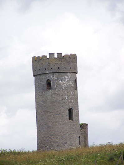 Killoran Towerfolly · 1.5 mi
 Bawn in Castletown (moyne Par.)Bawn · 1.5 mi
 Site of CastleCastle, unclassified · 2.7 mi
 Tullow HillMountain / peak · 4.2 mi
 DelaneyMemorial · 4.9 mi
 John HelyMemorial · 4.9 mi
 Kilcooly AbbeyHeritage attraction · 6.5 mi
 KilcooleyForest · 6.6 mi
 European ashEuropean ash · 6.9 mi
Other information
Photo: Credit not shown in the picture search · Rights wording not checked; contact us if this picture should be removed