What is recorded here
The site is orientated N-S and is composed of several roundwoods, three of which are positioned longitudinally. A single transverse supports one of the longitudinals (L c. 3m). This site is located adjacent to dryland. It is removed from the landscape (Rohan 2012).
Compiled by: Irish Archaeological Wetland Unit, UCD.
Date of upload: 24 August 2010
The monument record does not grant public access. Check the route and ask the landowner before entering private land.
- What survives
- Recorded monument
Places near here
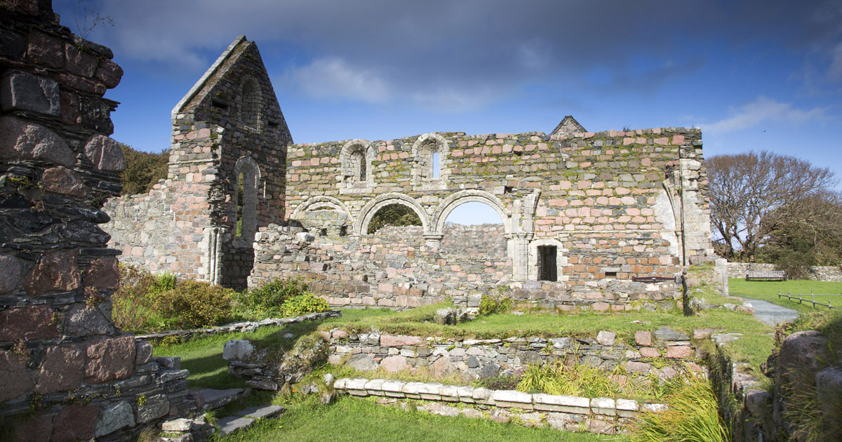 Religious house nunneryReligious house nunnery, unclassified · 1416 yd
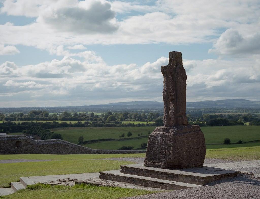 Cross (present location) in CloonburrenCross (present location) · 1426 yd
 Cross in CloonburrenCross · 1491 yd
 Cloonburren MoteCastle, motte and bailey · 1733 yd
 CastleCastle, unclassified · 1.1 mi
 Devenish IslandIsland · 1.4 mi
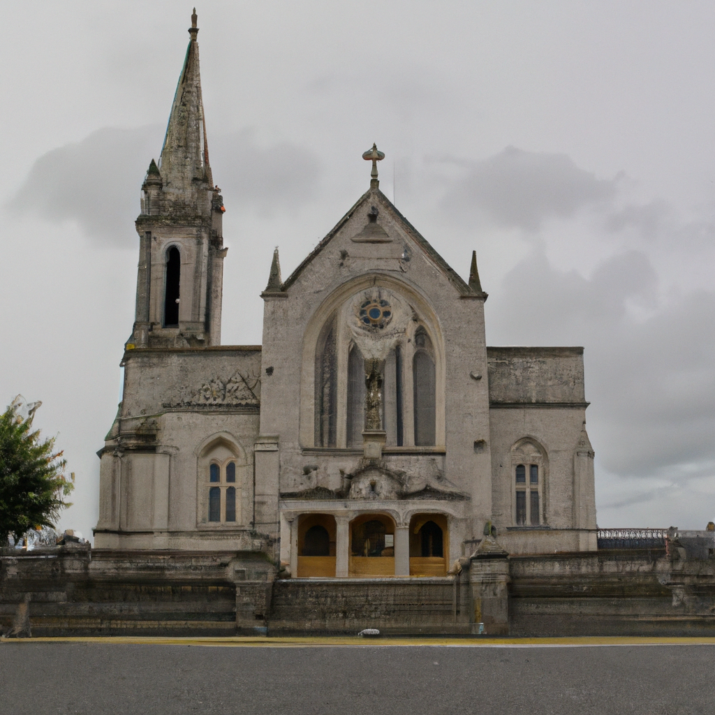 Church (in Ruins)Church · 1.7 mi
 HawthornHawthorn · 1.9 mi
 Graveyard in ClonmacnoiseGraveyard · 2.2 mi
 ClonmacnoiseMuseum · 2.2 mi
 Split HillMountain / peak · 2.5 mi
 Long IslandIsland · 2.7 mi