What is recorded here
Visible on aerial photographs (ACAP: V206/5-6), and situated on a gentle S-facing slope. A grass-covered berm (Wth 10-15m) aligned WNW-ESE (L c. 500m) and defined by scarps down to the S (H 0.2-0.3m) extends E from the rectangular enclosure (RO028-005----) towards the junction of roads (RO028-008001-) and (RO028-008002-) but disappearing c. 350m short of this point.
Compiled by: Michael Moore
Date of upload: 24 August 2010
The monument record does not grant public access. Check the route and ask the landowner before entering private land.
- What survives
- Recorded monument
Places near here
 MonasteryReligious house, Franciscan Third Order Regular · 648 yd
 RoadRoad, road/trackway · 683 yd
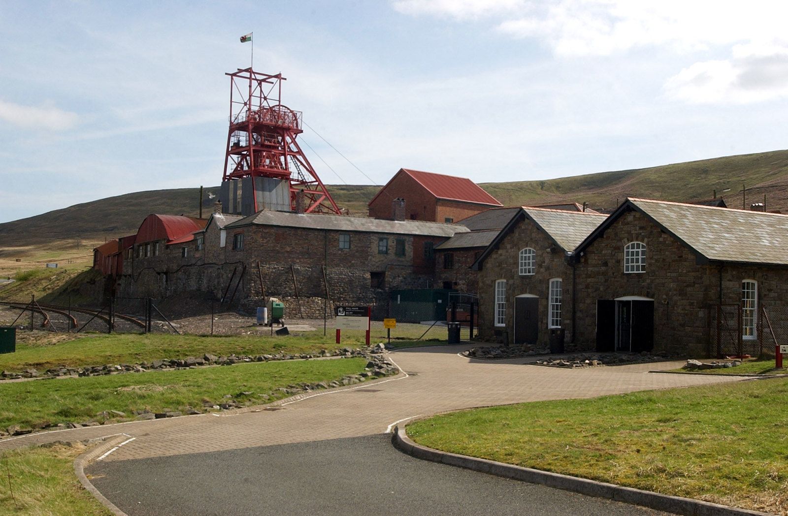 Hut site in Ballybeg (roscommon By., Ogulla Ed)Hut site · 1176 yd
 European ashEuropean ash · 1261 yd
 ToberagullaSpring · 1264 yd
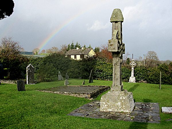 CrossCross, High cross · 1268 yd
 CastlerubyCastle, unclassified · 1.1 mi
 Cruachan Aí Heritage CentreMuseum · 1.6 mi
 CastleCastle, unclassified · 1.6 mi
 War of Independence Commemorative Military MemorialMemorial · 5.4 mi
 HawthornHawthorn · 7.3 mi
 Workhouse MemorialMemorial · 7.7 mi