What is recorded here
According to Hayward (1976, 117) 'at Castlecove we turned right at the Staigue Fort Hotel and traversed a rough humpy road for about three miles into the mountains'. According to local information this is the road that is still used to go from the main road up the valley to Staigue Fort. Hayward (ibid., 156) mentions a 'further section of the old road from Staigue, disused now for many a year'. Local information is that this old road passes over the hump-backed, stone-built bridge with two segmental arches and low parapet walls, about 1.5km S of Staigue Fort. This old road has been reused as part of 'The Kerry Way', which runs in a NE direction along the hillside from Staigue for c. 12 km to Sneem and then continues onwards to the E of Sneem. The construction date of this road is not known.
Compiled by: Elizabeth Byrne, Ursula Egan and Sheila Ronan, Archaeological Survey Unit, University College, Cork.
Date of upload: 30 May 2011
The monument record does not grant public access. Check the route and ask the landowner before entering private land.
- What survives
- Recorded monument
Places near here
 Liss CashelArchaeological place · 549 yd
 Liss Man-made underground passageArchaeological place · 1043 yd
 Cowlagh (in Ruins)Church · 1690 yd
 Cnoc na StéigeMountain / peak · 1.1 mi
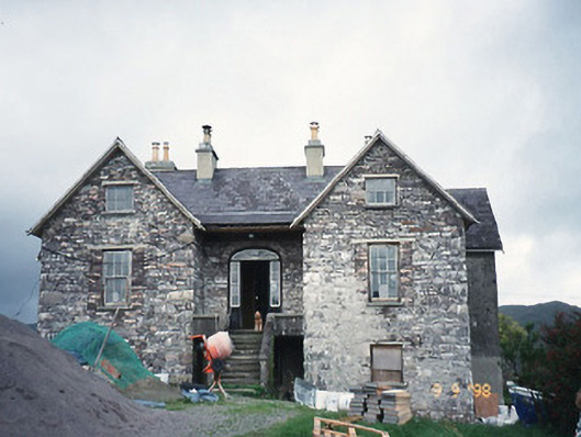 Scart Househouse · 1.2 mi
 Cnoc na Stéige (mullach thoir thuaidh)Mountain / peak · 1.3 mi
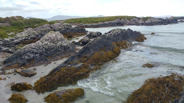 White StrandBeach / strand · 1.4 mi
 Castle Cove (in Ruins)Castle, tower house · 1.5 mi
 2Cliff · 1.5 mi
 IllaundraneIslet · 1.6 mi
 Reen BeachBeach / strand · 2.6 mi
 An PlaoscHeadland · 3.8 mi