What is recorded here
On the route from the oratory terrace (KE104A001011-) to the summit of the South Peak of Sceilg Mhichíl. The remains of a drystone masonry trackway (L 9m; Wth 2m), built on a steep sloping rock-face, facilitates the difficult ascent to the summit (Horn et al. 1990, 51).
See attached figures 12 and 43 taken from Horn, W., White Marshall, J. and Rourke, G. 1990 The forgotten hermitage of Skellig Michael.
The above description is derived from the published 'Archaeological Inventory of County Kerry. Volume I: South-West Kerry' (Dublin: Stationery Office, 2009). In certain instances the entries have been revised and updated in the light of recent research.
Revised by: Caimin O'Brien
Date of revised upload: 2 March 2022
The monument record does not grant public access. Check the route and ask the landowner before entering private land.
- What survives
- Recorded monument
Places near here
 Church in Sceilg MhichílChurch · 16 yd
 Sceilg MhíchílMountain / peak · 36 yd
 Sceilig MhichílIslet · 105 yd
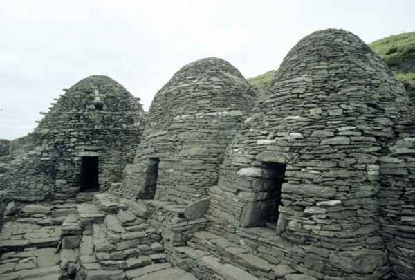 CrossCross · 120 yd
 Enclosure in Sceilg MhichílEnclosure · 176 yd
 North PeakMountain / peak · 225 yd
 Skellig MonasteryHeritage attraction · 249 yd
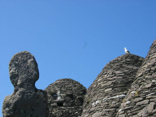 Church (in Ruins)Church · 263 yd
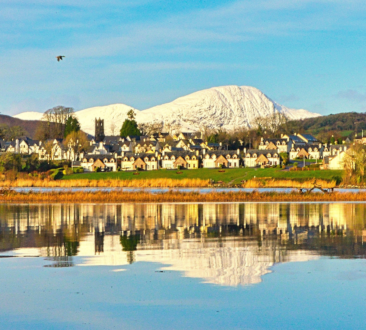 Pointe na bhFaoileannHeadland · 615 yd
 Sceilig BheagIslet · 1.6 mi
 LéimeHeadland · 7.0 mi
 Tráigh na SplinceBeach / strand · 8.7 mi