What is recorded here
Hogan (1860-1, 360-61) describes a campaign, in the mid-9th century, by a royal party headed by Niall Caille to invade Ossory. He states that the invading force, ‘seem to have been travelling from the direction of “Ennis-nag,” and on the north bank of the King’s River, then called the “Callann” (O’Heerin). They probably crossed the Nore at “Ath-na-mult,” and proposed to cross the “Kells-grange” into that of “Rathduff,” near the present corn-mills, apparently the most ancient ford over this river below Kells, and from which the church of “Kilree” the topographical outlines of the present day show a road to have existed at some former time’. The precise location of this route is unknown.
Compiled by: Jean Farrelly
Date of upload: 6 February 2017
The monument record does not grant public access. Check the route and ask the landowner before entering private land.
- What survives
- Recorded monument
Places near here
 KilreeArchaeological place · 248 yd
 Stone CrossCross, High cross · 250 yd
 St Bridgets Church (in ruins)Church · 251 yd
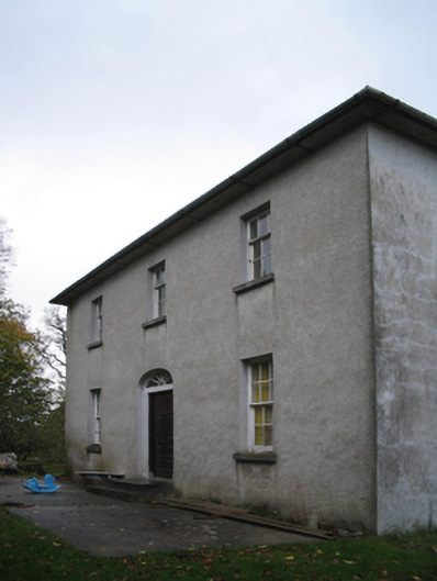 farm housefarm house · 1071 yd
 Kells Augustinian PrioryHeritage attraction · 1.5 mi
 Pat WalshMemorial · 1.5 mi
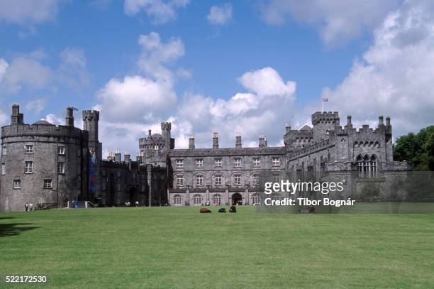 Danganbeg Castle (Site of)Castle, unclassified · 1.6 mi
 Water TowerCastle · 1.6 mi
 Kells Loop WalkWalking route · 1.6 mi
 Famous Horses of KellsMemorial · 1.6 mi
 Kells Priory Mill MuseumMuseum · 1.8 mi
 Lacken WellSpring · 1.9 mi