
What is recorded here
Situated on an E-facing slope. The small road running ESE from a complex junction at Ballinlug East and Killan (L c. 2.4km) now comes to a T-junction in Mangan townland at its E end. Originally, the road took a more easterly course, starting c. 300m W of its E end and continued due E to the entry road to Killoughrum House. From there it could follow its avenue either to the house or S to Monglass. This relict road is visible as a cropmark (L c. 2km) visible in drought conditions on Google Earth (14/07/2018), and there are memories of old roads in the folk collections, although not to this one (IFC vol. 0893, 34). The cropmark is also faintly visible on Digital Globe (c. 2013), and was first reported by Simon Dowling.
Compiled by: Michael Moore
Date of upload: 20 March 2020
The monument record does not grant public access. Check the route and ask the landowner before entering private land.
- What survives
- Recorded monument
Places near here
 Killoughrum ForestForest · 1115 yd
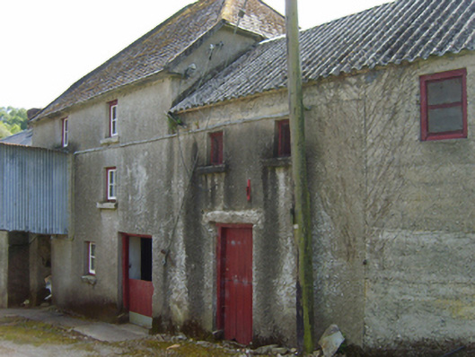 mill (water)mill (water) · 1467 yd
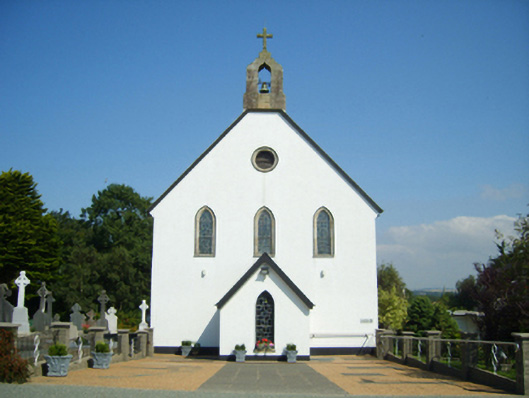 Catholic Church of Saint John the Baptistchurch/chapel · 1.1 mi
 IndicatedFairy fort / ringfort · 1.2 mi
 Embanked enclosureFairy fort / earthen ringfort · 1.4 mi
 Pedunculate OakPedunculate Oak · 3.4 mi
 Daphney CastleCastle, unclassified · 3.7 mi
 Ruin of a small castleRuins · 3.8 mi
 Duffry GateMemorial · 4.8 mi
 U.N. Peace MemorialMonument · 4.8 mi
 Battle of Vinegar HillMajor battlefield · 4.9 mi
 National 1798 CentreMuseum · 5.1 mi
Other information
Photo: Credit not shown in the picture search · Rights wording not checked; contact us if this picture should be removed