What is recorded here
Situated in Derryville Bog. This site consisted of a linear drove type road (L 30m; Wth 7m) of post-medieval date orientated NE-SW constructed with brown sandy clay, small stones, post-medieval brick and large cobbles. (Stevens 1999, Killoran 9, 144)
The above description is derived from 'The Archaeological Inventory of County Tipperary. Vol. 1 - North Tipperary' compiled by Jean Farrelly and Caimin O'Brien (Dublin: Stationery Office, 2002). In certain instances the entries have been revised and updated in the light of recent research.
Date of upload/revision: 22 September 2008
The monument record does not grant public access. Check the route and ask the landowner before entering private land.
- What survives
- Recorded monument
Places near here
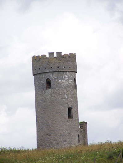 Killoran Towerfolly · 716 yd
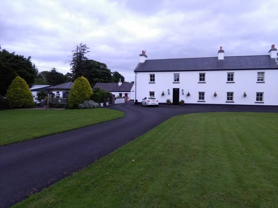 LislacyFairy fort / earthen ringfort · 833 yd
 Killoran Housecountry house · 1017 yd
 LisdonowleyCastle, ringwork · 1.1 mi
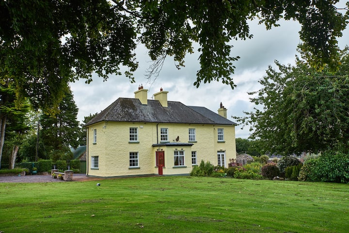 Enclosure in LisdonowleyEnclosure · 1.1 mi
 Castle (in Ruins)Bawn · 1.9 mi
 Tullow HillMountain / peak · 3.4 mi
 St. Mary's Famine and War MuseumMuseum · 6.1 mi
 Famine & War MuseumMuseum · 6.2 mi
 European ashEuropean ash · 6.2 mi
 WoodlandWood · 6.8 mi
 Devil's Bit MountainMountain / peak · 9.7 mi