What is recorded here
Associated with a church (GA031-044----) and graveyard. Aerial reconnaissance in July 1969 (CUCAP AYQ 70) revealed the line of a roadway in the large pasture field to N of the graveyard. This appears as a slight linear hollow in the field surface, flanked in parts by slight banks. Though it commences at its S end as a single road, it bifurcates c. 50m N of the graveyard. The E branch runs due N, across a partially quarried hillock, terminating after c. 120m close to a modern farmhouse. The W branch follows a roughly NNW course, and can be traced for c. 150m to the edge of the pasture field. At this point, an old earthen boundary, shown on 3rd ed. of OS 6-inch map (1931), may mirror its course for a further 75m. Not visited.
The above description is derived from the published 'Archaeological Inventory of County Galway Vol. II - North Galway'. Compiled by Olive Alcock, Kathy de hÓra and Paul Gosling (Dublin: Stationery Office, 1999).
Date of upload: 05 August 2010
The monument record does not grant public access. Check the route and ask the landowner before entering private land.
- What survives
- Recorded monument
Places near here
 Kilkerrin Church (in ruins)Church · 135 yd
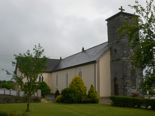 Saint Joseph's Catholic Churchchurch/chapel · 926 yd
 Enclosure in Kilcornan (tiaquin By.)Enclosure · 1.1 mi
 Enclosure in Acres (tiaquin By.)Enclosure · 1.3 mi
 Site of CastleCastle, tower house · 1.7 mi
 Bawn in Kiltullagh (tiaquin By.)Bawn · 2.2 mi
 HawthornHawthorn · 4.9 mi
 Ballinlass Eviction MemorialMemorial · 5.9 mi
 Wych ElmWych Elm · 6.0 mi
 Mount MaryMountain / peak · 7.8 mi
 Menlough IRAMemorial · 8.9 mi
 Knockmoy AbbeyHeritage attraction · 10 mi