
What is recorded here
In lowlying pasture, possible enclosure (LI012-119001----) 90m to E, enclosure (LI012-020----) 127m to SSE. Identified by Celie O’Rahilly during field survey in 1991 and described as following; ‘Situated on low grazing ground. Located at the northern extremity of the area, close to the Limerick-Foynes road. A series of low stone and earthen banks. One of these appears to be an old trackway running parallel to the road just inside the boundary wall. A small lake to the west of these has been divided by a causeway and may be a continuation of the track’. This possible trackway is visible on Google Earth orthoimage taken 29/03/2012.
See attached Google Earth aerial photograph taken 29/03/2012
Compiled by: Fiona Rooney
Date of upload: 23 June 2020
The monument record does not grant public access. Check the route and ask the landowner before entering private land.
- What survives
- Recorded monument
Places near here
 Enclosure in GlennameadeEnclosure · 88 yd
 Partially indicatedEcclesiastical enclosure · 445 yd
 Killulta Church (in ruins)Church · 488 yd
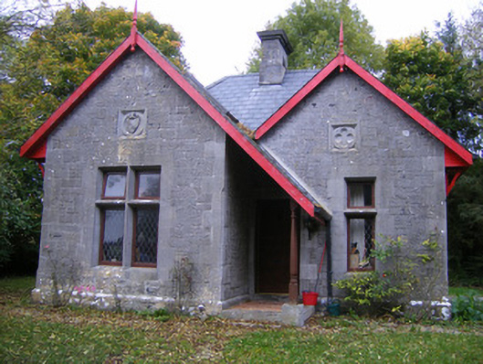 Dromore Castlegate lodge · 799 yd
 Bolane CastleCastle · 1343 yd
 Derreen Castle (in ruins)Castle, tower house · 1404 yd
 Celtic Park and GardensHeritage attraction · 1.2 mi
 Stonehall Visitor FarmHeritage attraction · 1.7 mi
 European YewEuropean Yew · 2.0 mi
 Mellon PointHeadland · 3.1 mi
 Ringmoylan PierVisitor information · 3.3 mi
 Maiden RockNamed rock · 3.4 mi
Other information
Photo: Credit not shown in the picture search · Rights wording not checked; contact us if this picture should be removed