
What is recorded here
In marshy pasture, now part of a housing development, with views S to Mangerton Mountain. A stone trackway (Wth c. 2m) found during excavations extended (L 6.2m) in a roughly N-S direction (Dennehy 2001a). The trackway, which was truncated by a drainage gully, comprised large, flat-topped sandstones. According to the excavator, a fulacht fia (KE066-058003-), 13m to the S, probably functioned in tandem with the trackway. A deposit of fulacht fia material overlay the trackway and, given its proximity to the fulacht fia, it is probable that this material formed part of the original fulacht fia mound. The shape and size of the stones in the trackway were similar to the large sandstones arranged around the trough of the fulacht fia. According to Dennehy (ibid. 6), given that this trackway was covered with fulacht fia material, it may have functioned solely with the fulacht and, once the fulacht fia ceased to be used, the trackway access may have been deliberately sealed with mound debris. (Dennehy 2001a)
Compiled by: Elizabeth Byrne, Ursula Egan and Sheila Ronan, Archaeological Survey Unit, University College, Cork.
Date of upload: 31 January 2011
The monument record does not grant public access. Check the route and ask the landowner before entering private land.
- What survives
- Recorded monument
Places near here
 Fulachta fianBurnt spread · 356 yd
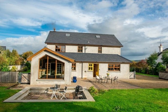 Coolgarriv HouseCountry house · 482 yd
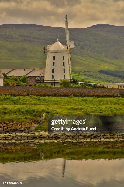 Fulacht FianFulacht fia · 582 yd
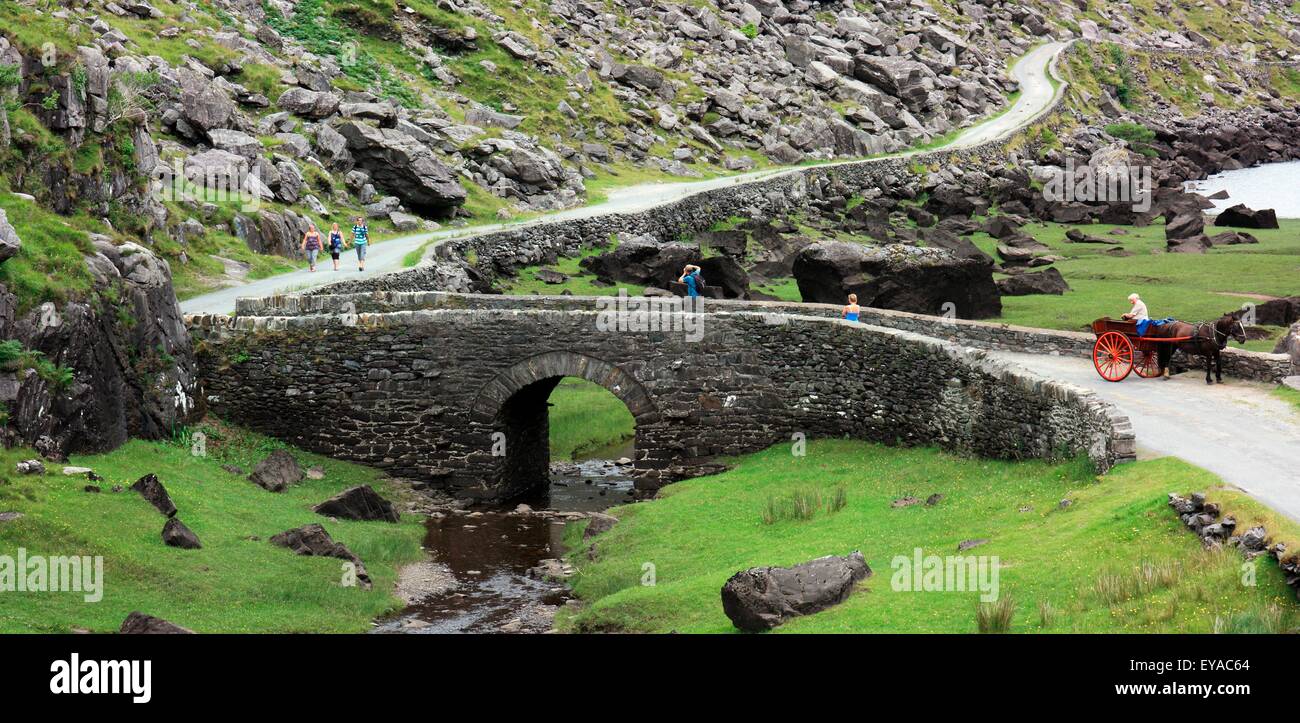 Deenagh BridgeBridge · 996 yd
 Famine MemorialMemorial · 1472 yd
 GinkgoGinkgo · 1.1 mi
 Kerry 2nd Brigade of the Irish Republican ArmyMemorial · 1.2 mi
 Circular WalkWalking route · 1.2 mi
 Giant SequoiaGiant Sequoia · 1.2 mi
 Aghadoe Early Medieval Ecclesiastical SiteHeritage attraction · 1.3 mi
 Parkavonear CastleCastle · 1.3 mi
 Jaunting ToursHeritage attraction · 1.5 mi
Other information
Photo: Credit not shown in the picture search · Rights wording not checked; contact us if this picture should be removed