What is recorded here
Situated towards the N and E edge of a plateau with rock outcrop. The large medieval church (LE025-096001-) and the rectangular graveyards are imposed on the curvilinear earthworks that cover an area of about 15 ha (c. 60 acres) and are protected by a Preservation Order (PO no. 3/1994). The earthworks include a roadway which approaches the ecclesiastical enclosure (LE025-096004-) from the N (L c. 90m). The road appears to run directly to the W doorway of the church, and is probably late in date. It re-emerges from the S angle of the old graveyard and extends S (L c. 50m). Most of the earthworks are possibly early medieval in date and are best appreciated from the air (Norman and St Joseph 1969, 109-10).
This monument is subject to a preservation order made under the National Monuments Acts 1930 to 2014 (PO no. 3/1994).
Compiled by: Michael Moore
Date of upload: 6 July, 2017
The monument record does not grant public access. Check the route and ask the landowner before entering private land.
- What survives
- Recorded monument
Places near here
 Church (in Ruins)Church · 73 yd
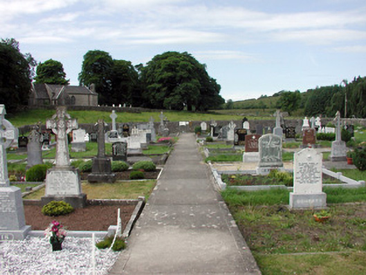 graveyard/cemeterygraveyard/cemetery · 100 yd
 Grave Yd.Graveyard · 101 yd
 St Everans WellHoly well · 692 yd
 Buck IslandIsland · 2.4 mi
 CastleCastle, tower house · 2.4 mi
 Crane IslandIslet · 2.5 mi
 CastleforeCastle, tower house · 3.0 mi
 DrumbadMountain / peak · 3.8 mi
 Cromlin Bridge WoodWood · 4.6 mi
 European ashEuropean ash · 4.8 mi
 Swan Island pet farmHeritage attraction · 5.1 mi