What is recorded here
The Esker Riada, which carried the mythical road, an tSlí Mhór – the Great Road, from Tara to the West runs WSW from Cloonburren motte and bailey (RO056-010001-) with a surviving section of road (RO056-009----) at its W end. From a gap in the esker c. 1.2km WSW of the motte and at a gap in the esker a branch (RO056-009001-) turned N to Cloonburrren church site (RO056-007002-). From the gap in the esker it ran NNE (L c. 180m) and joined the present road (L c. 140m) from where it probably turned E (L c. 330m) and then N (L c. 500m) to join the laneway just E of the graveyard (RO056-007001-). Only a short section of a sunken way (Wth c. 2-8m; L c. 40m) survives at the S end, and the N end is visible as a cropmark of two linear ditch features placed c. 10m apart (L c. 200m) on aerial images (OSAP: 1995). Archaeological testing (01E0260) c. 90m to the W and c. 200m S of the church failed to produce any related material (Henry 2003a).
Compiled by: Michael Moore
Date of upload: 11 December, 2015
The monument record does not grant public access. Check the route and ask the landowner before entering private land.
- What survives
- Recorded monument
Places near here
 Cross in CloonburrenCross · 631 yd
 IndicatedHoly well · 641 yd
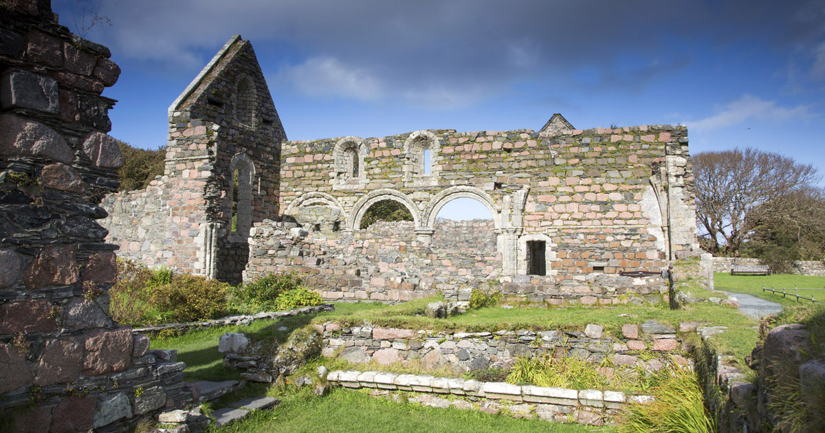 Religious house nunneryReligious house nunnery, unclassified · 708 yd
 Cloonburren MoteCastle, motte and bailey · 916 yd
 CastleCastle, unclassified · 1.2 mi
 Devenish IslandIsland · 1.3 mi
 Split HillMountain / peak · 1.3 mi
 Long IslandIsland · 1.7 mi
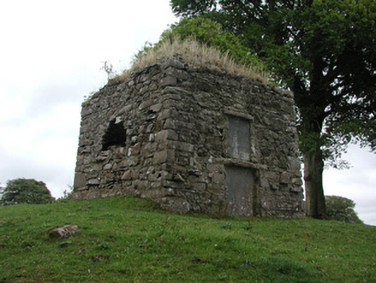 St. George Mausoleummausoleum · 2.0 mi
 Shannonbridge - Nearby AttractionsVisitor information · 2.1 mi
 Sugarloaf HillMountain / peak · 2.3 mi
 HawthornHawthorn · 2.7 mi